← Back to Main Gallery
MAPS Historic Maps
1733 Popple
1794 Stockdale 2
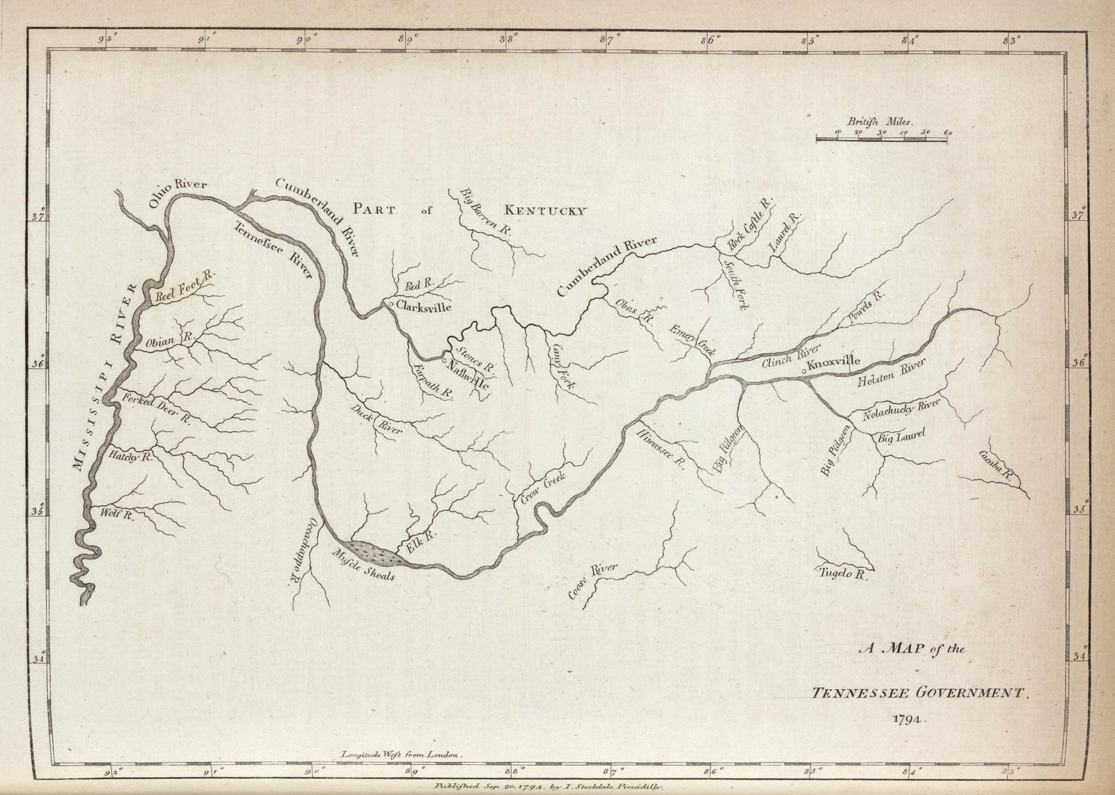
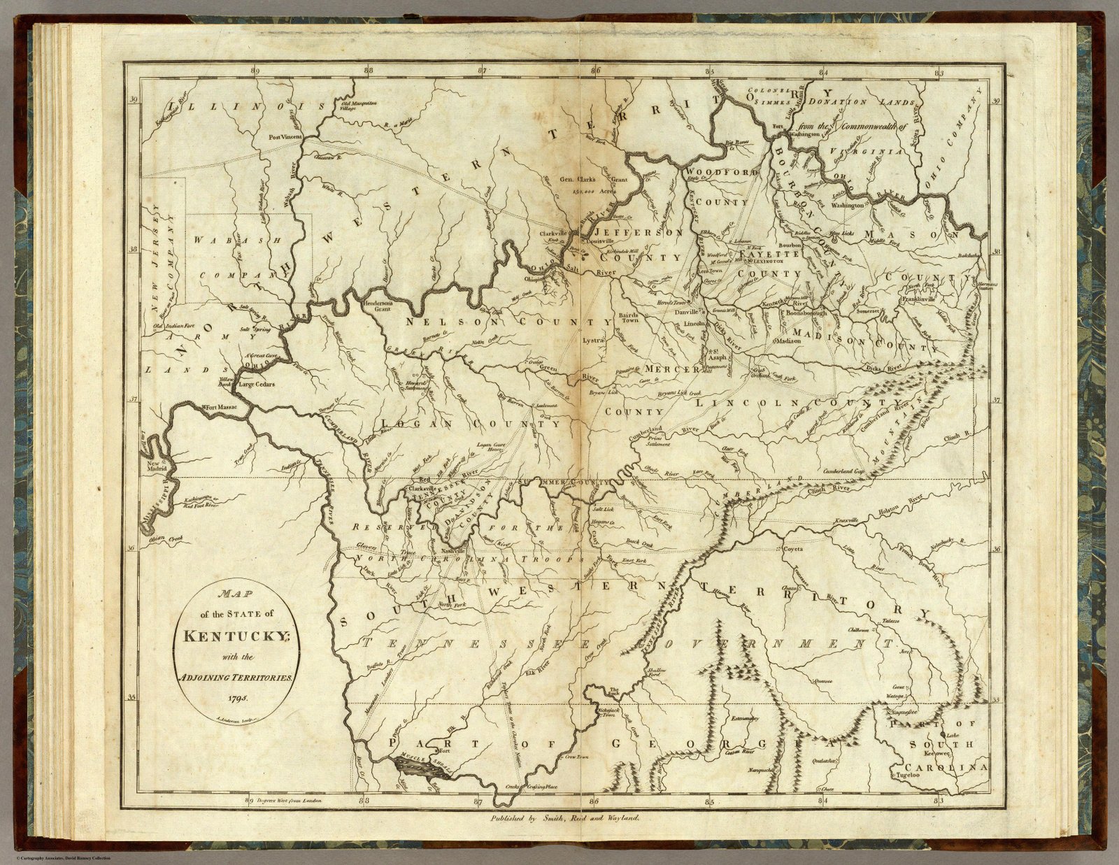
1794 Stockdale
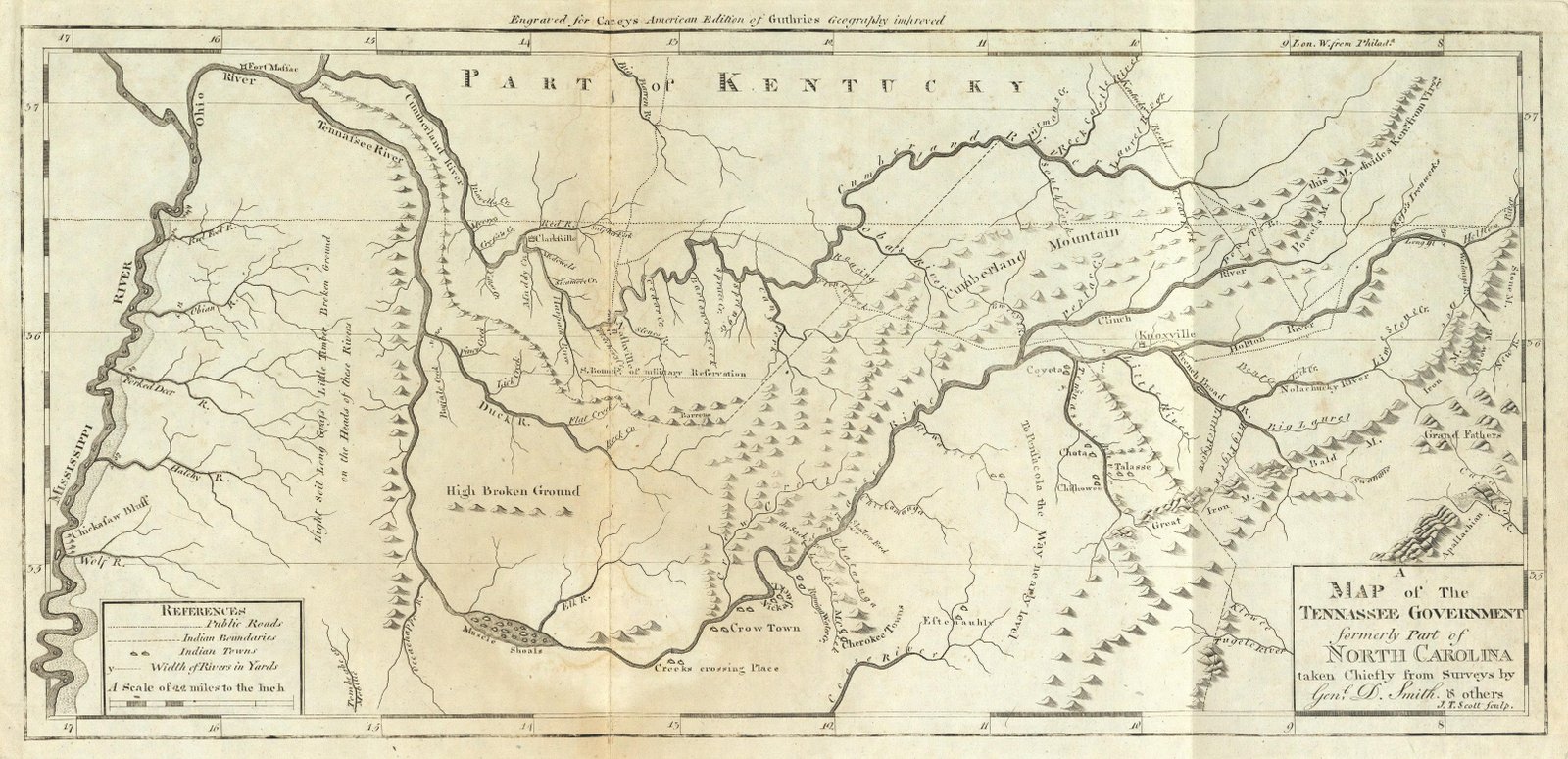
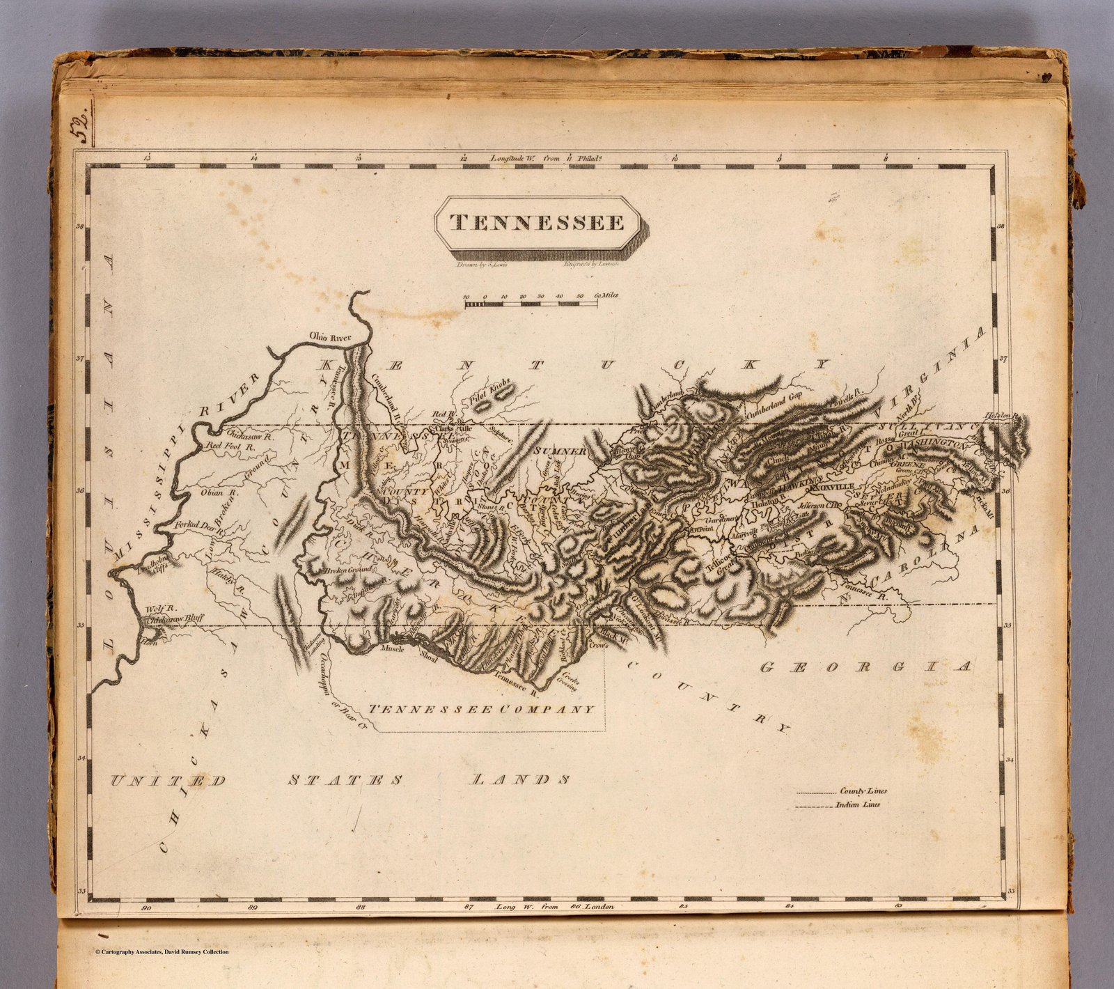
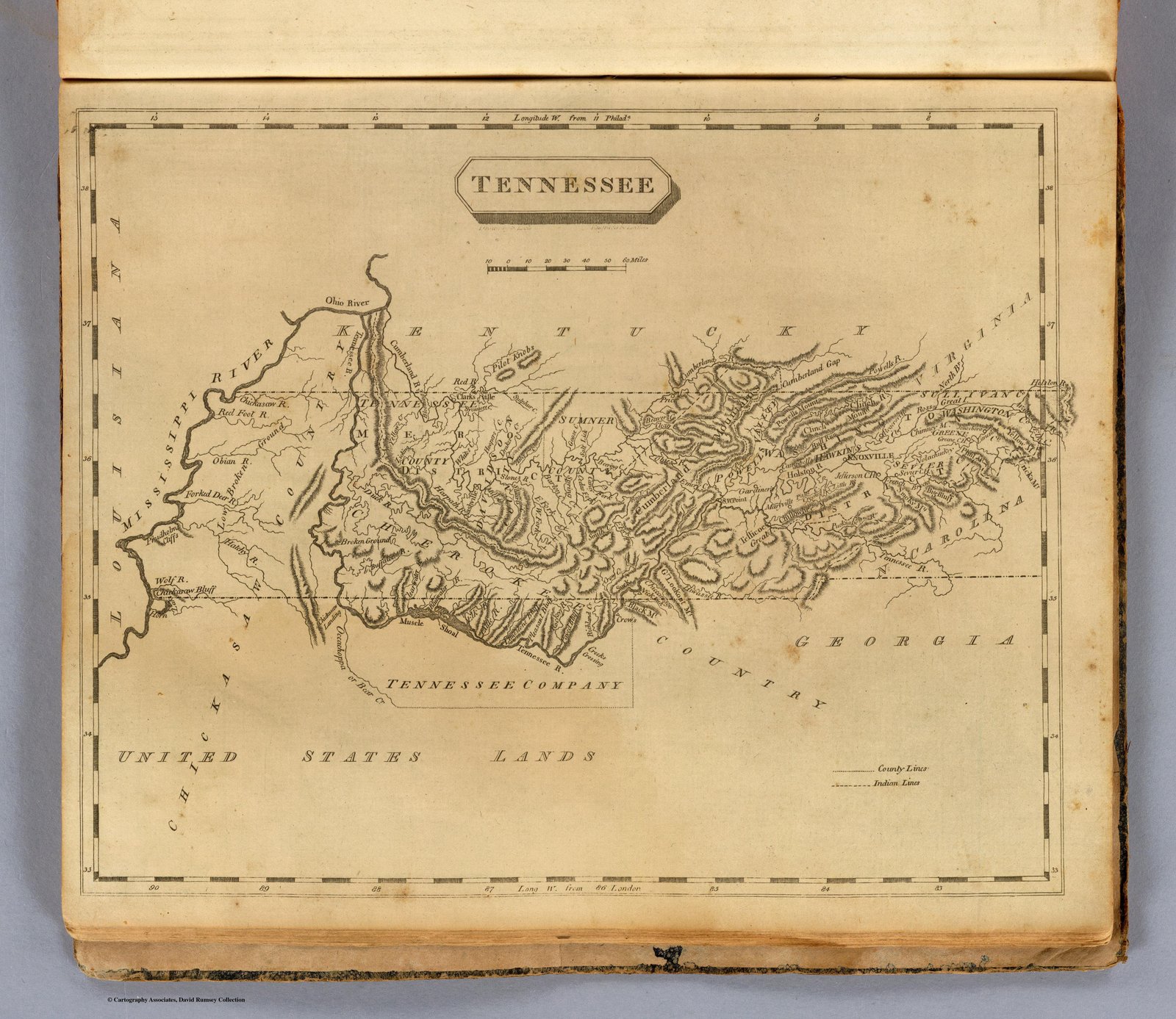
1795 Carey's American Atlas Tennessee
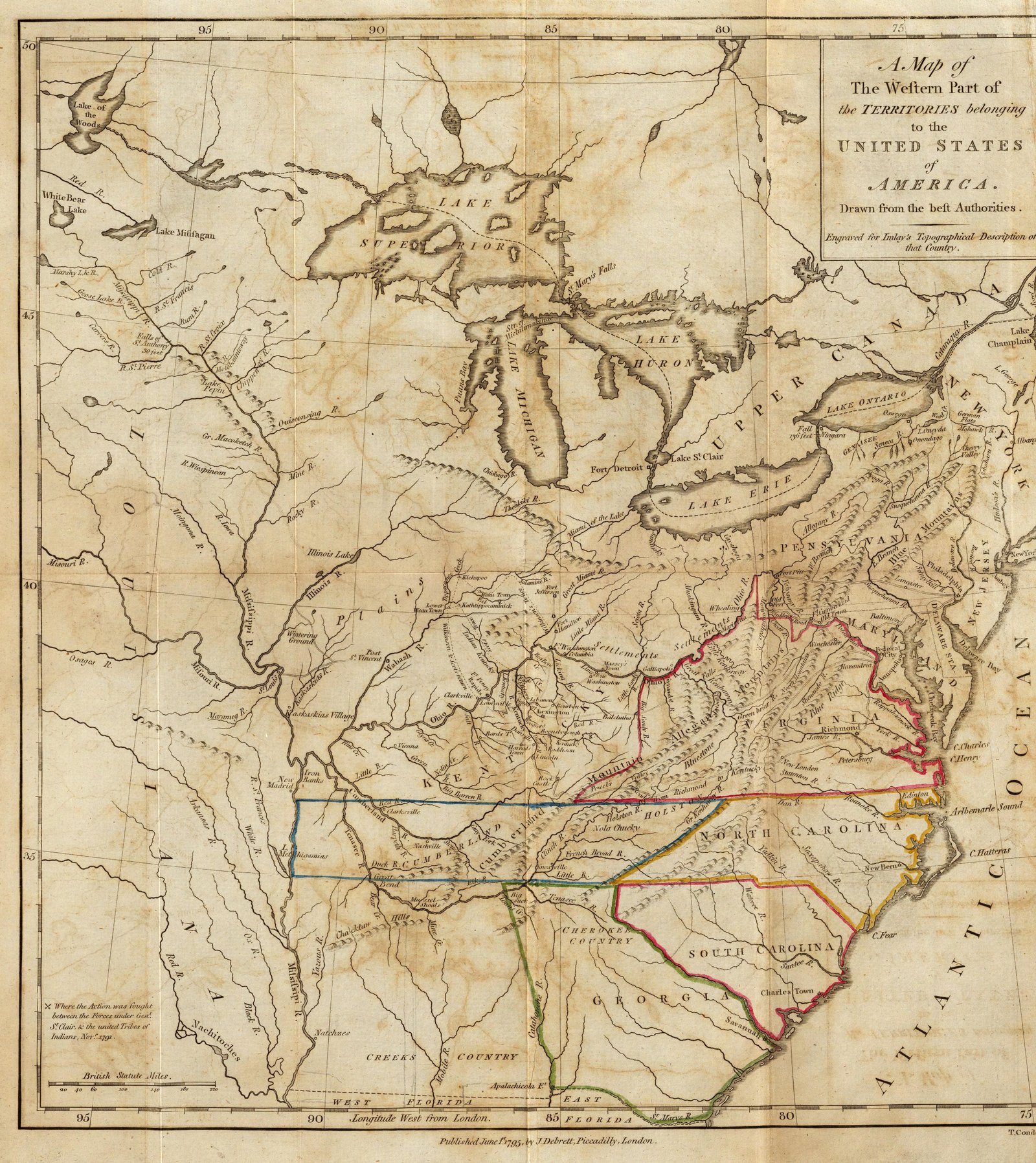
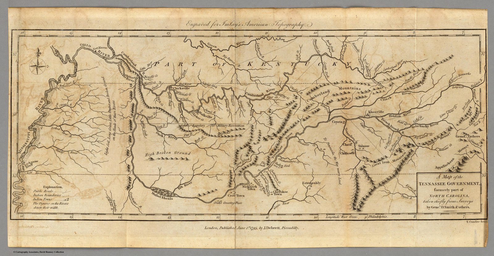
1795 Debrett of London
1795 DeBrett
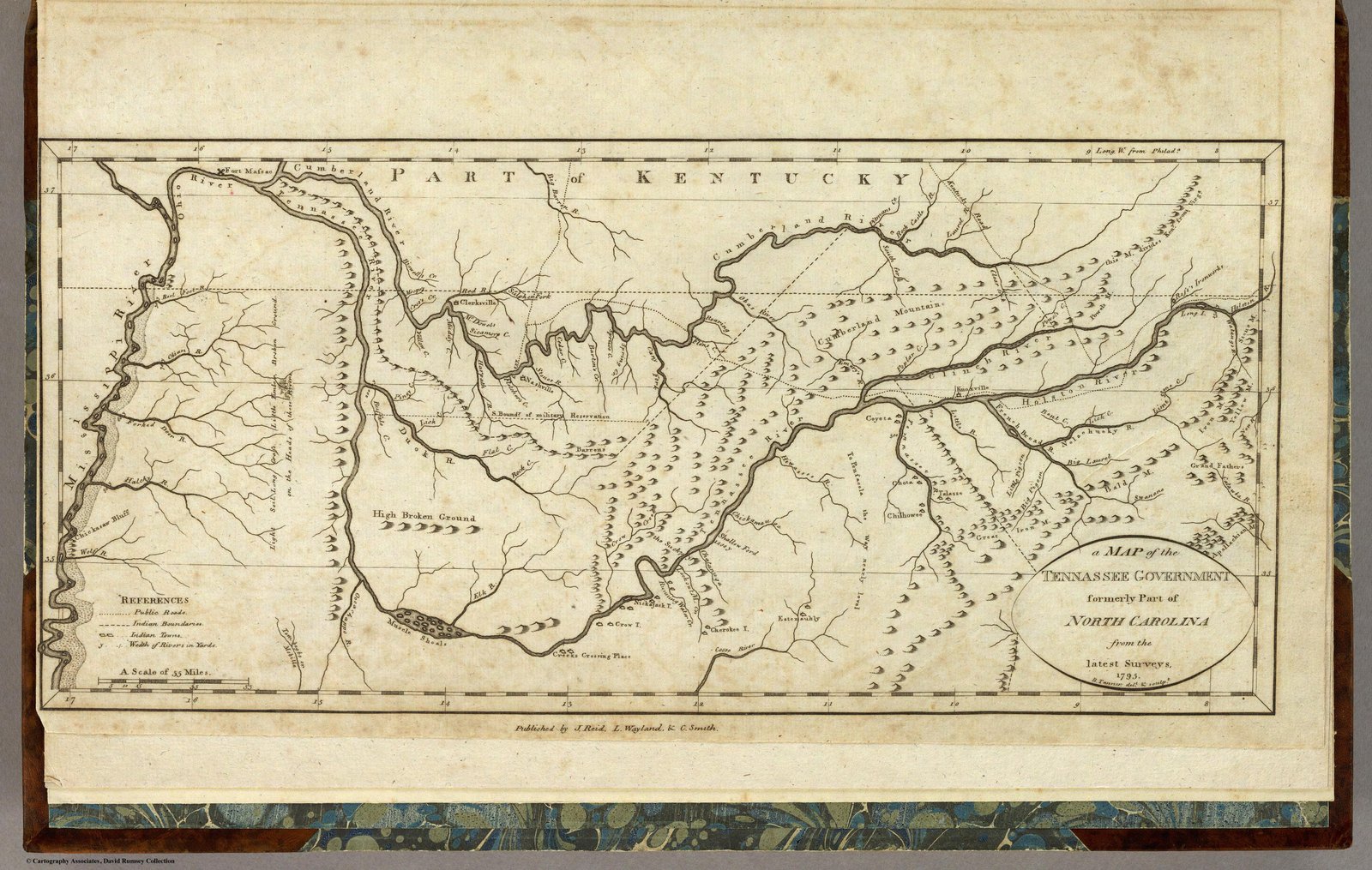
1795 Reid
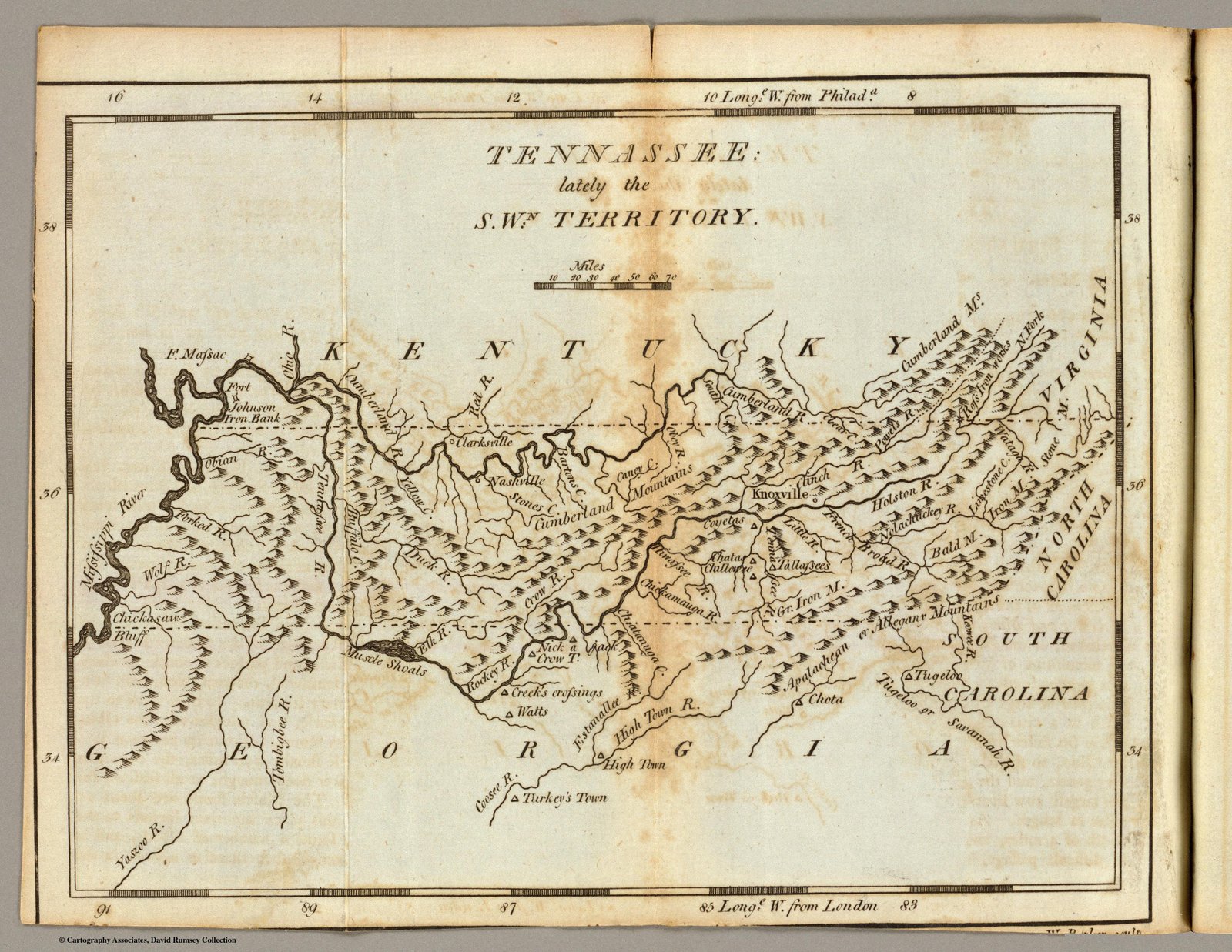
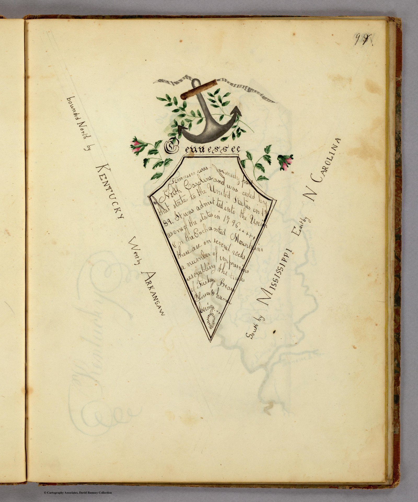
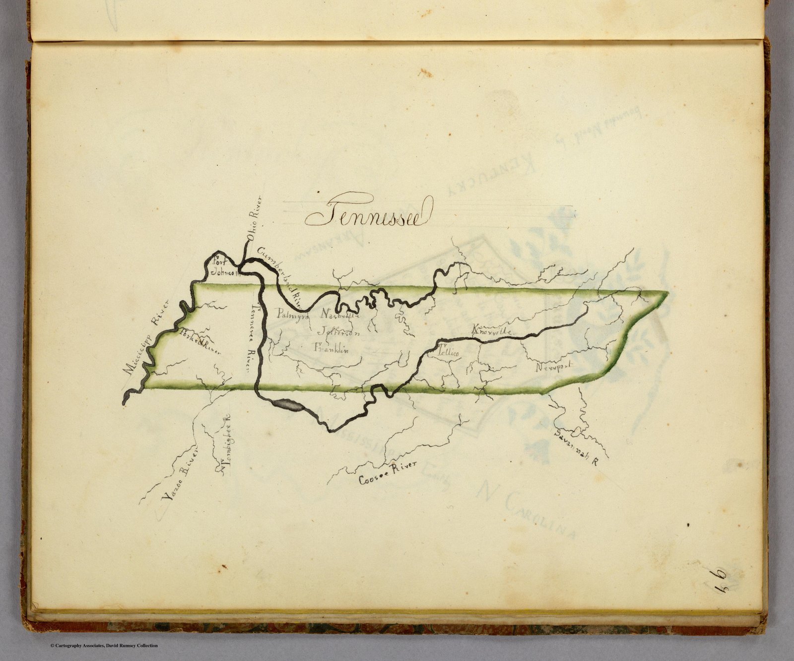
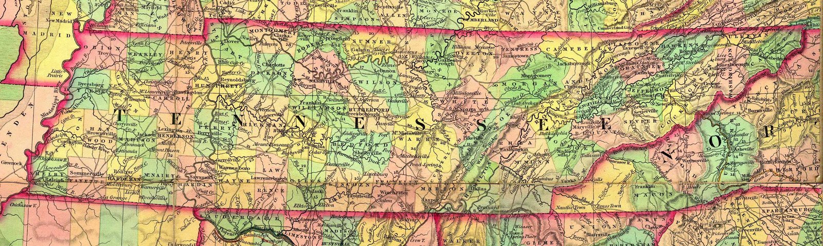
1795 Tennassee
1796 Carey
1804 Arrowsmith
1812 Arrowsmith
1814 Carey
1818 Melish Map
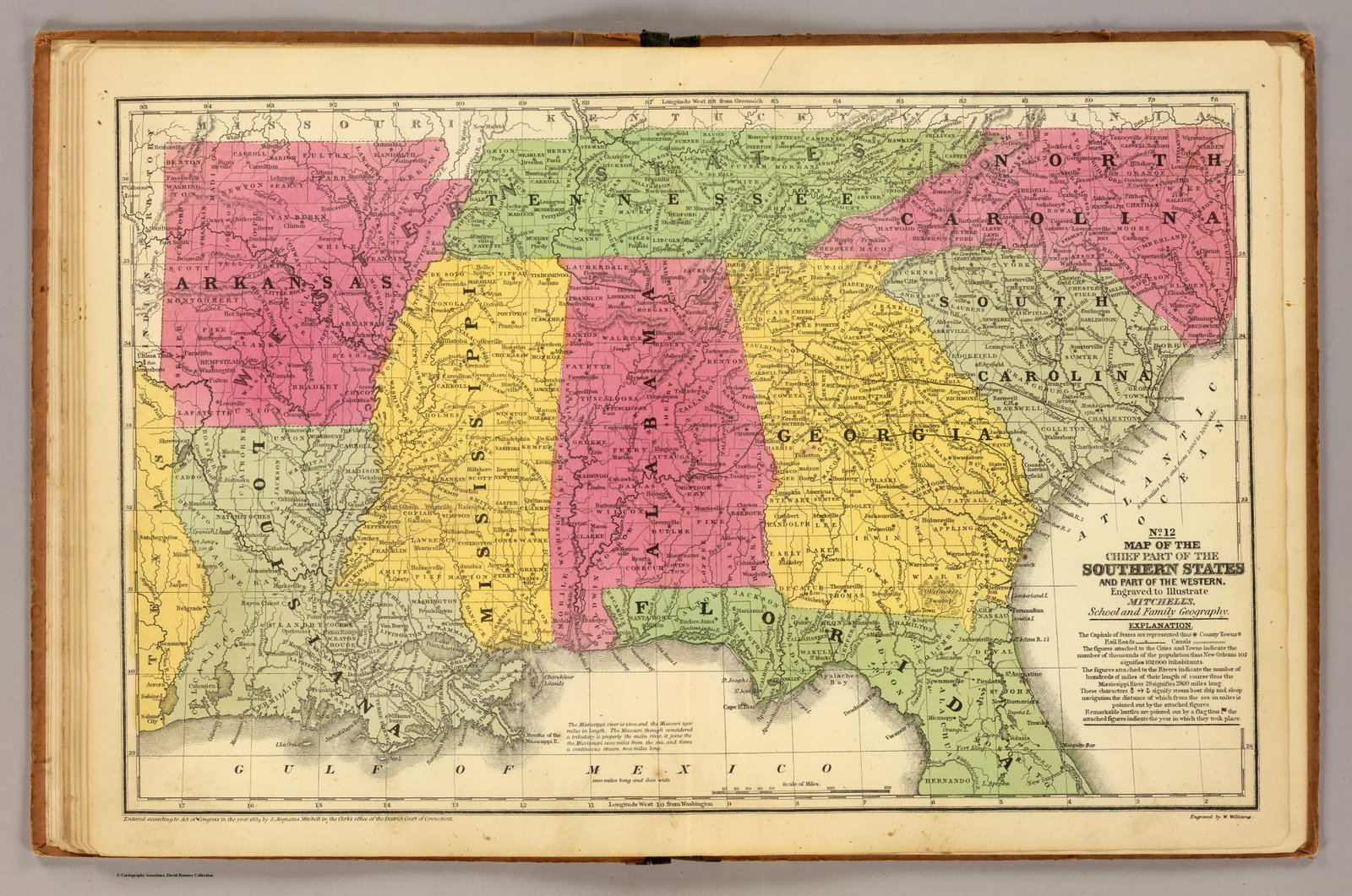
1822 Carey with Geographic and Demographic Info
1823 Fielding
1823 HS Tanner Atlas
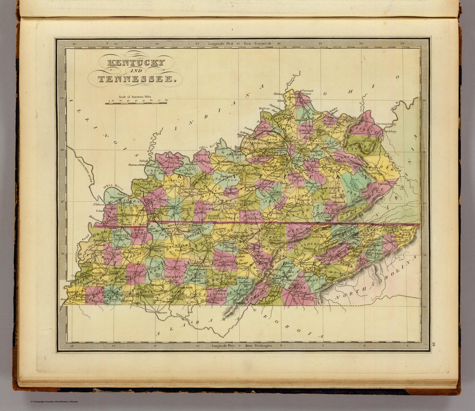
1825 HS Tanner Atlas
1826 Finley
1827 Finley
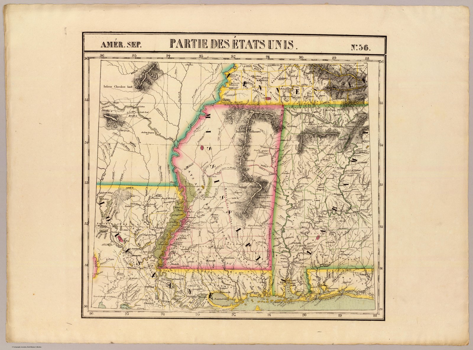
1827 French Map 2
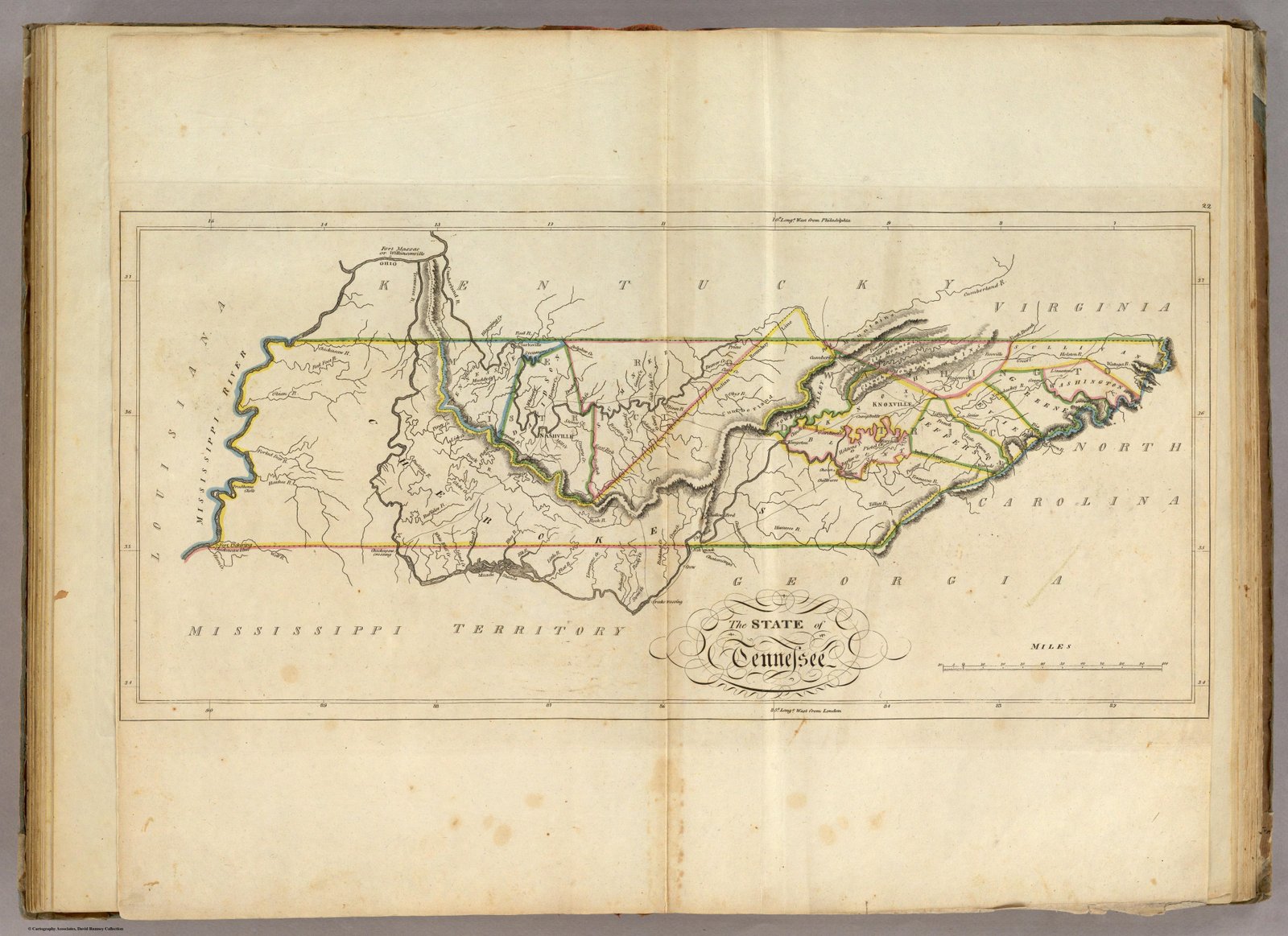
1827 French Map
1828 Henshaw Description
1828 Henshaw Map
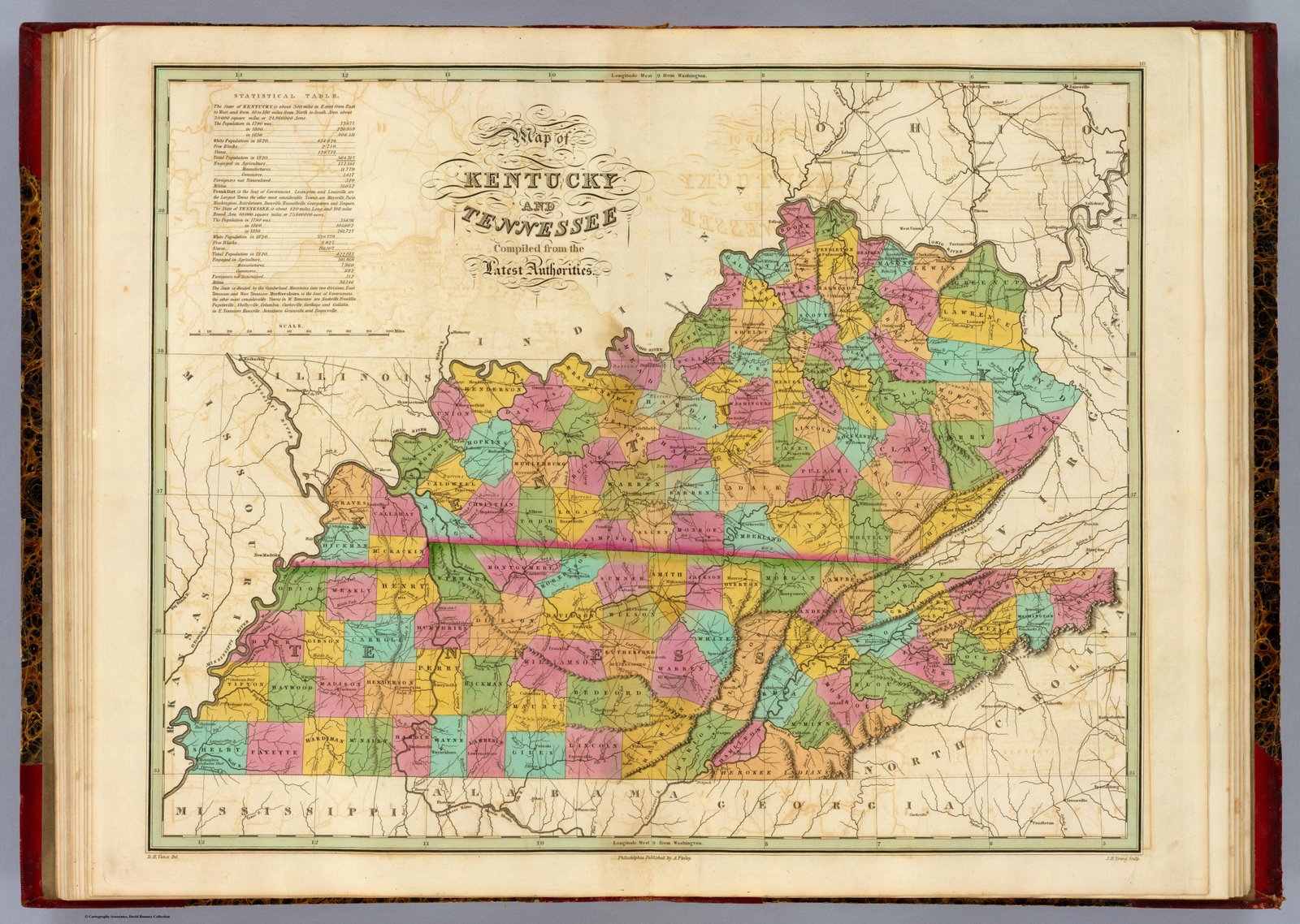
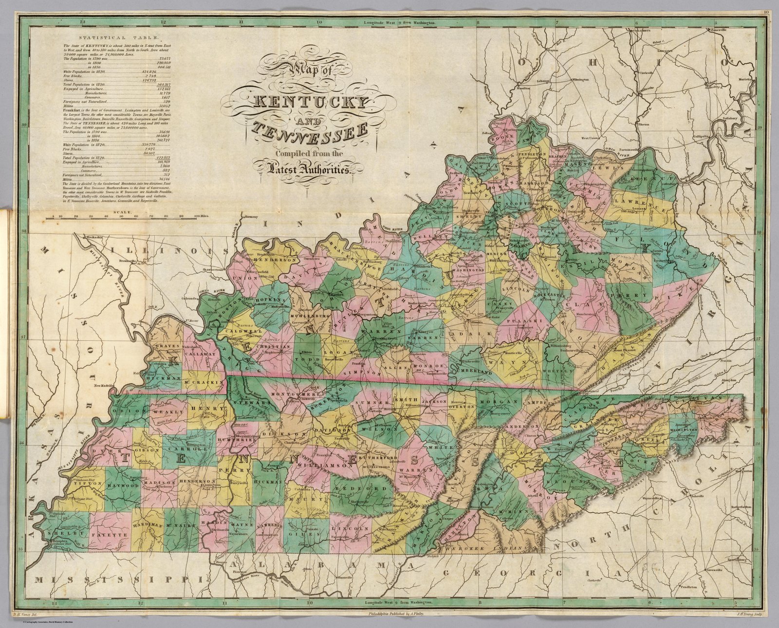
1830 Young
1831 Finley
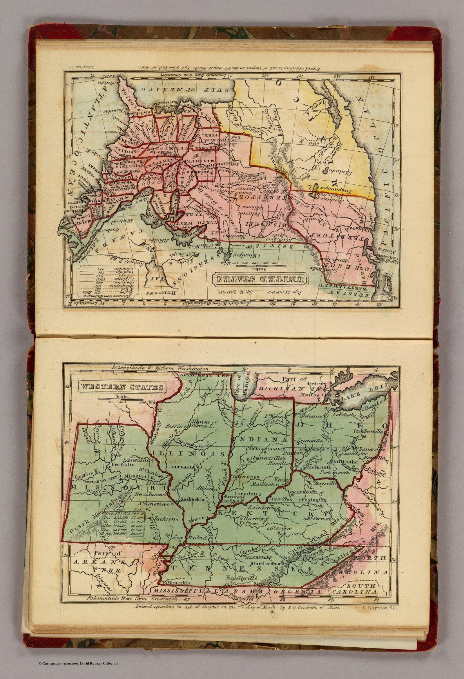
1831 Goodrich
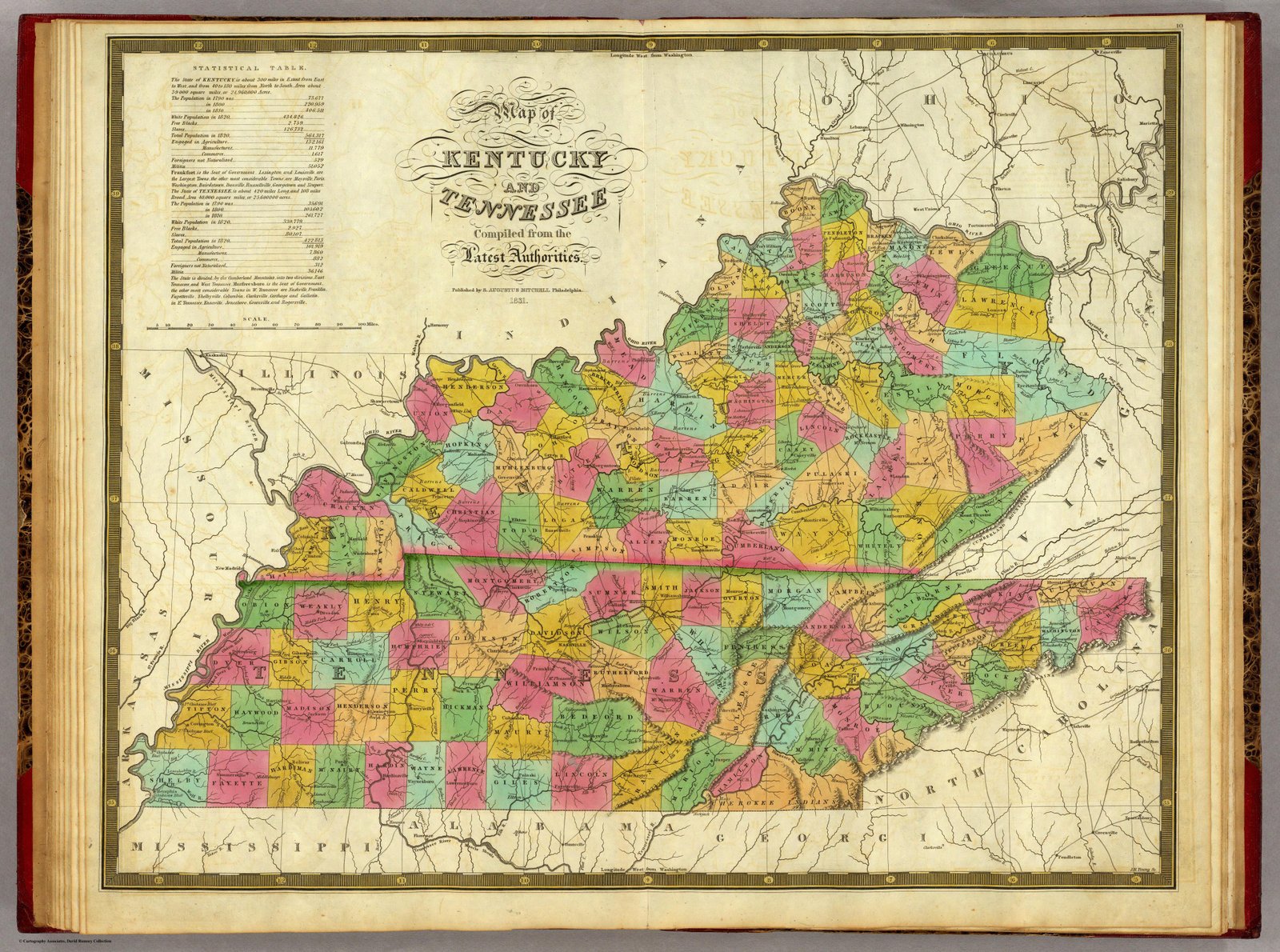
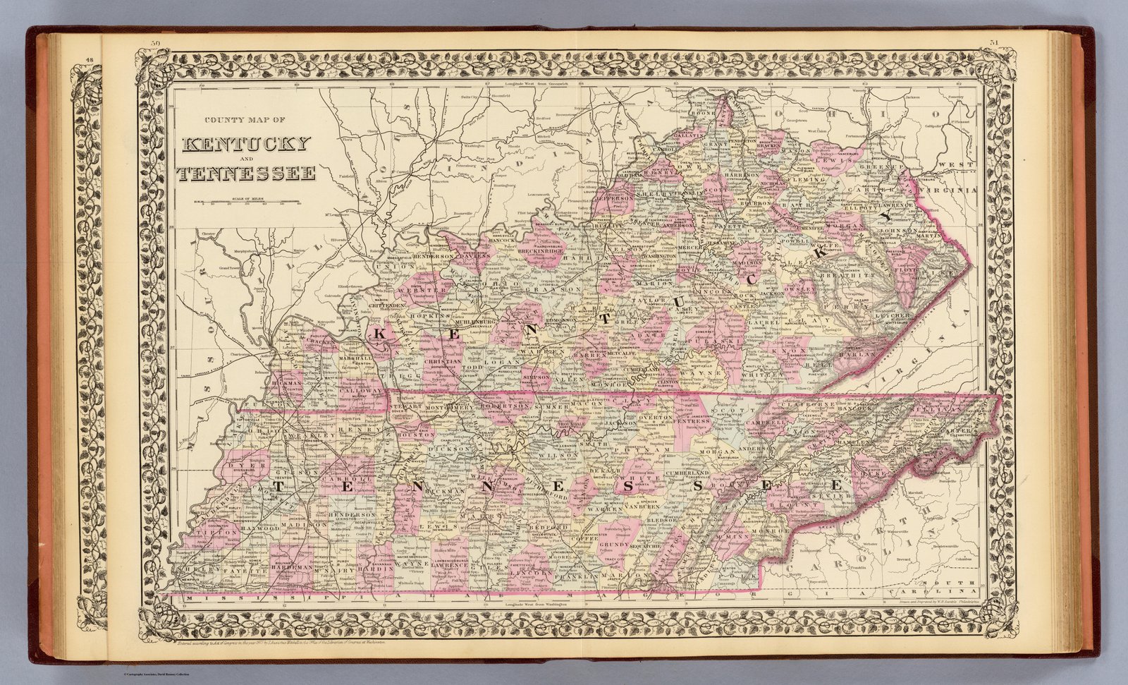
1831 Mitchell
1832 Morse
1833 Baldwin (2)
1833 Baldwin
1834 from Henry Schenck Tanner’s U. S. Map
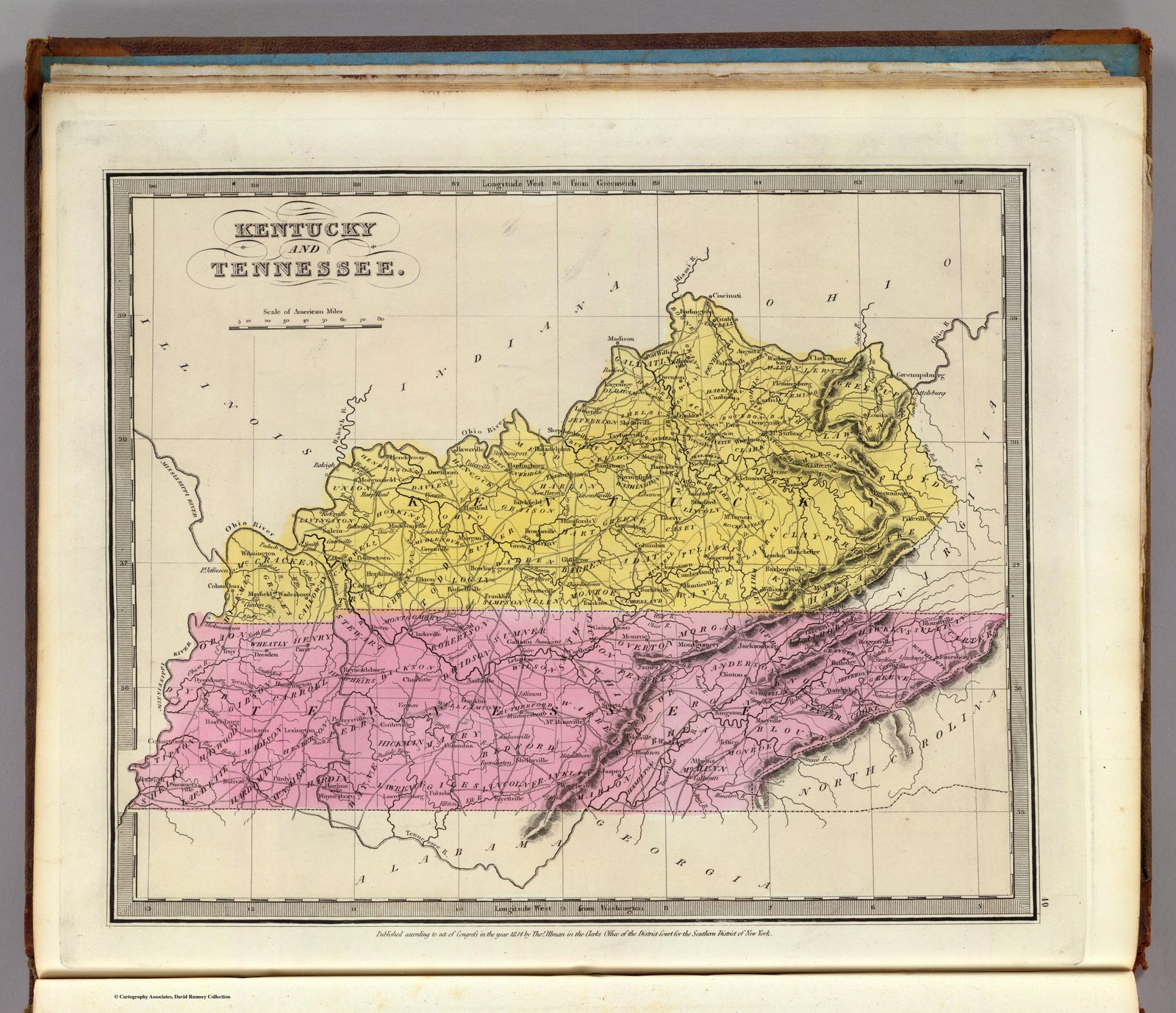
1834 Ilman
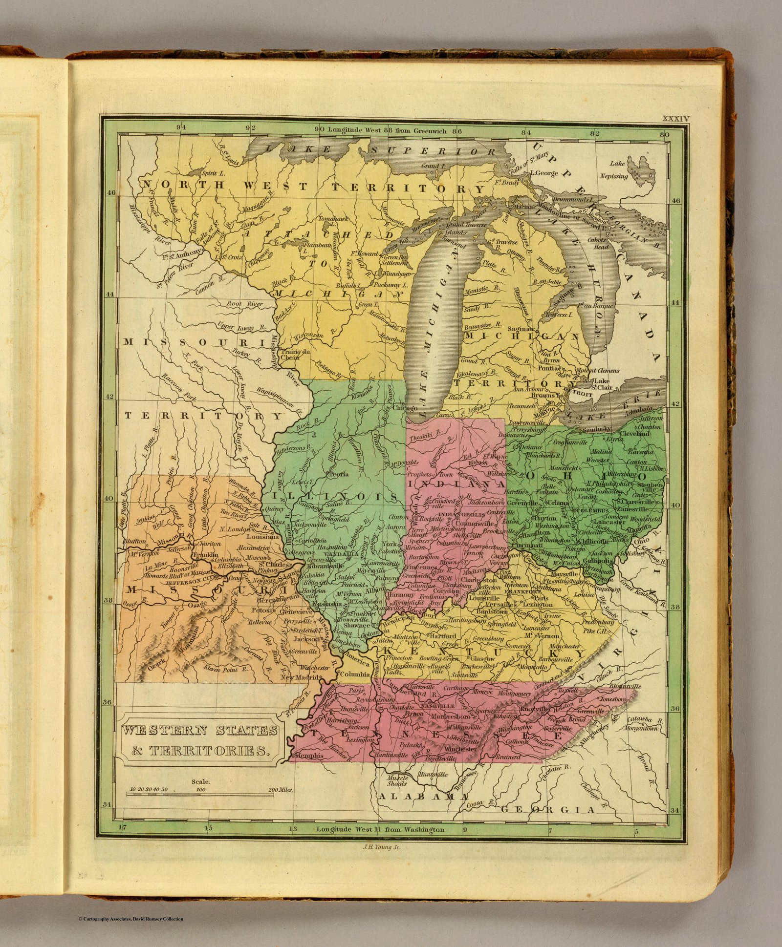
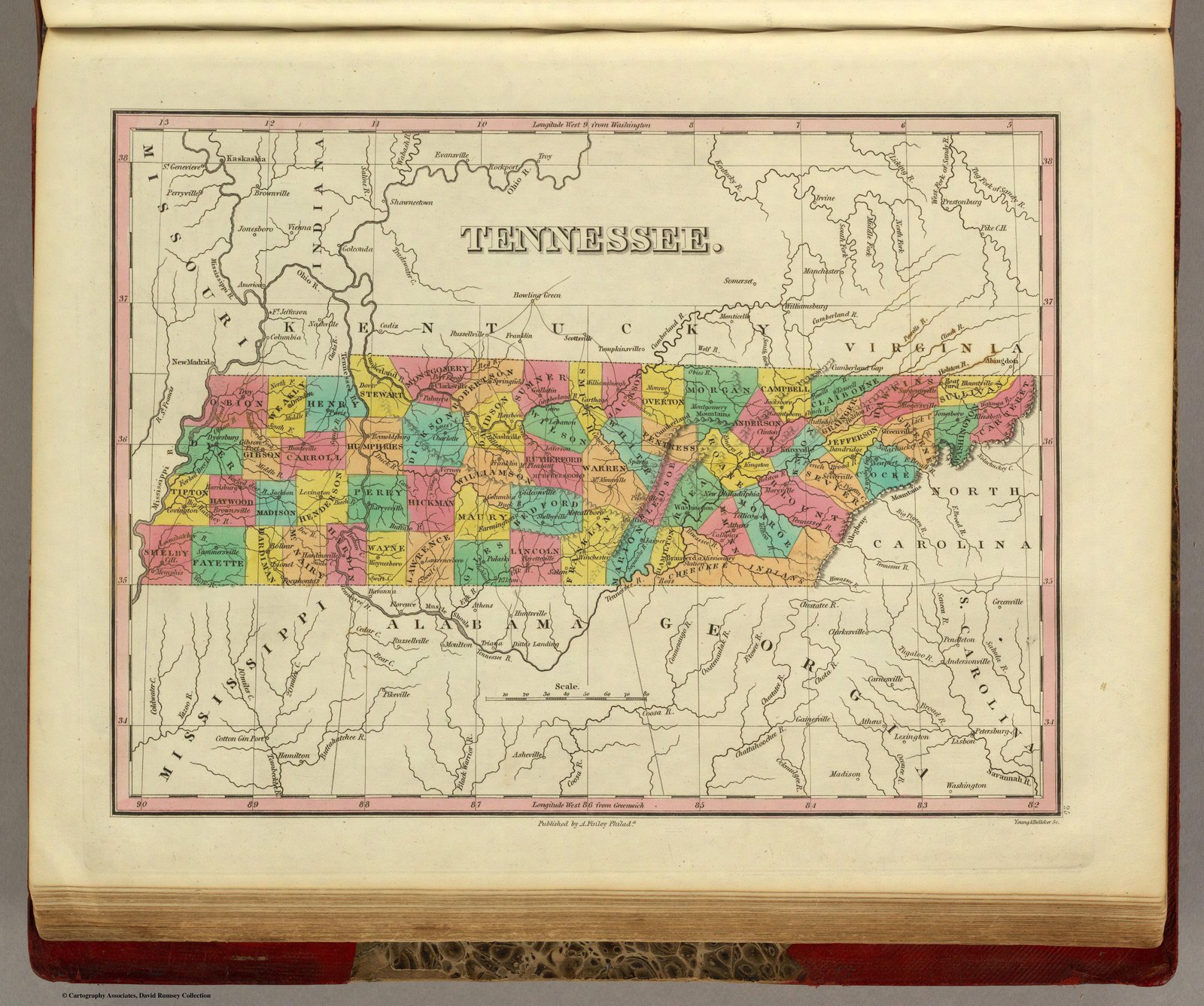
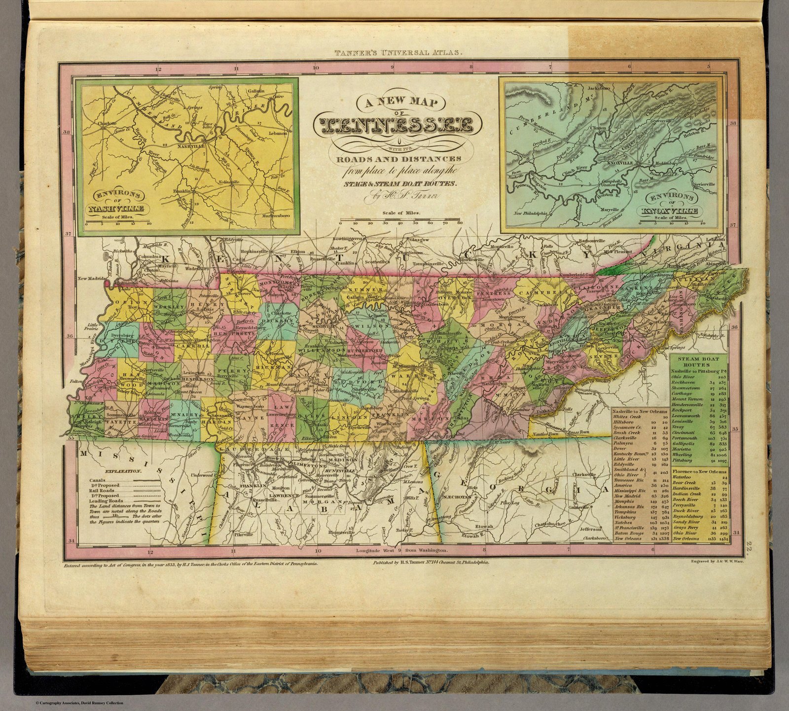
1836 Tanner
1837 Olney
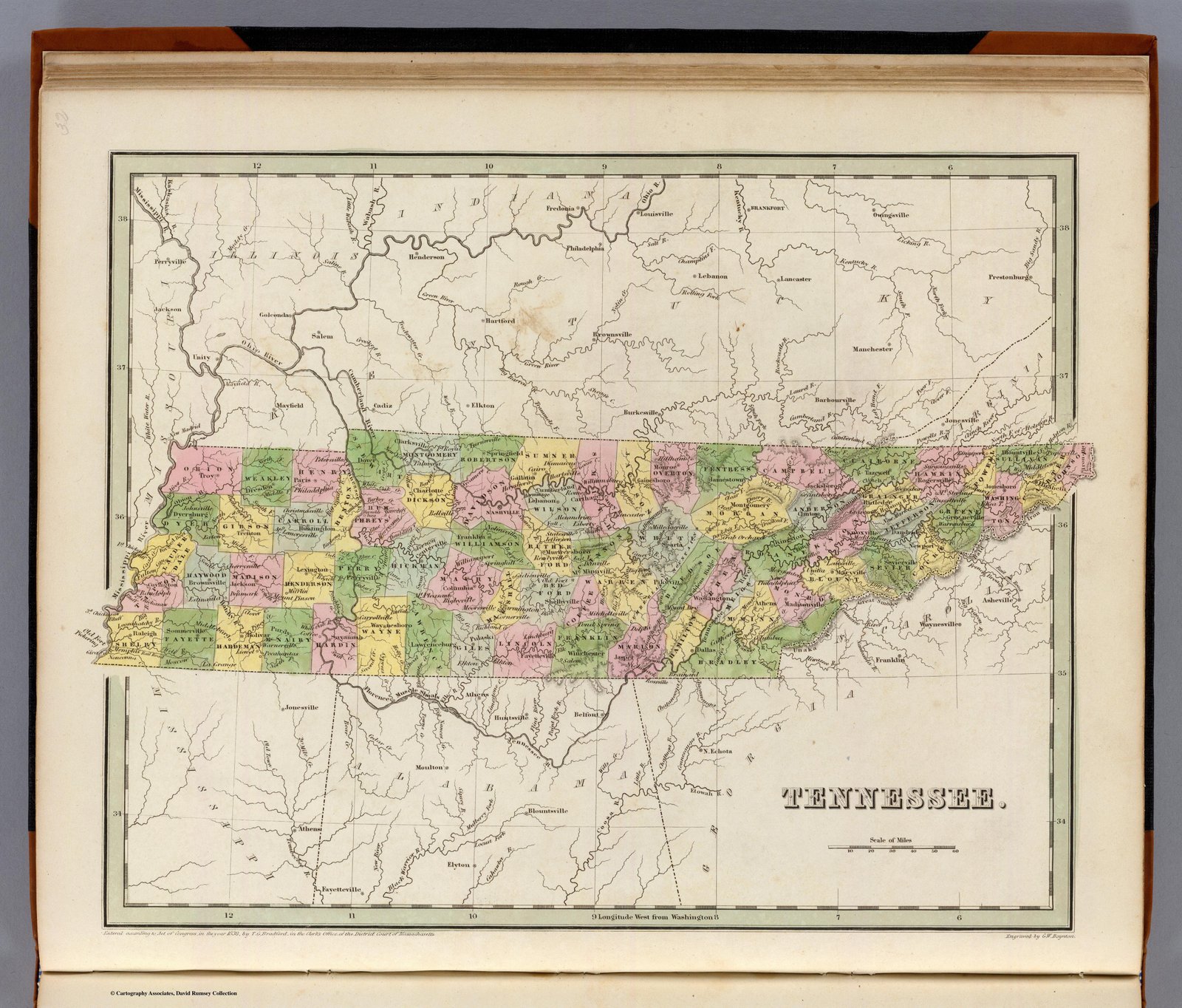
1838 Bradford
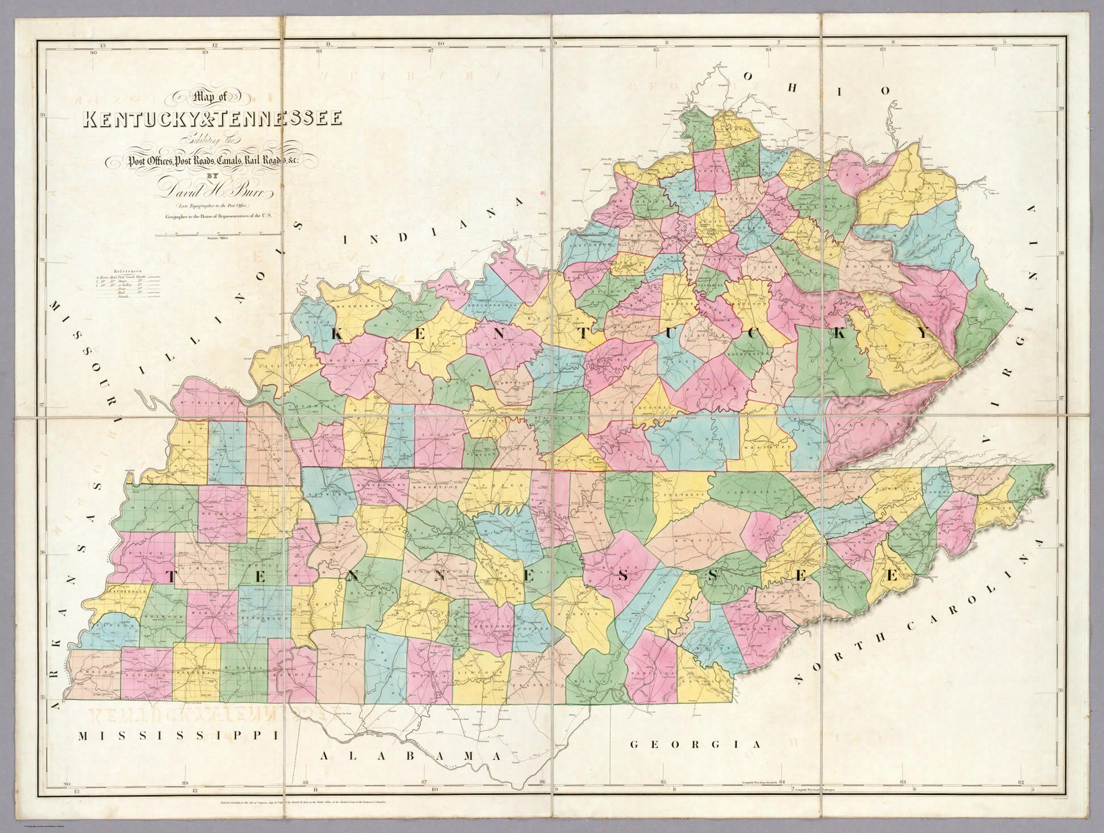
1839 Burr
1839 Mitchell
1840 Greenleaf
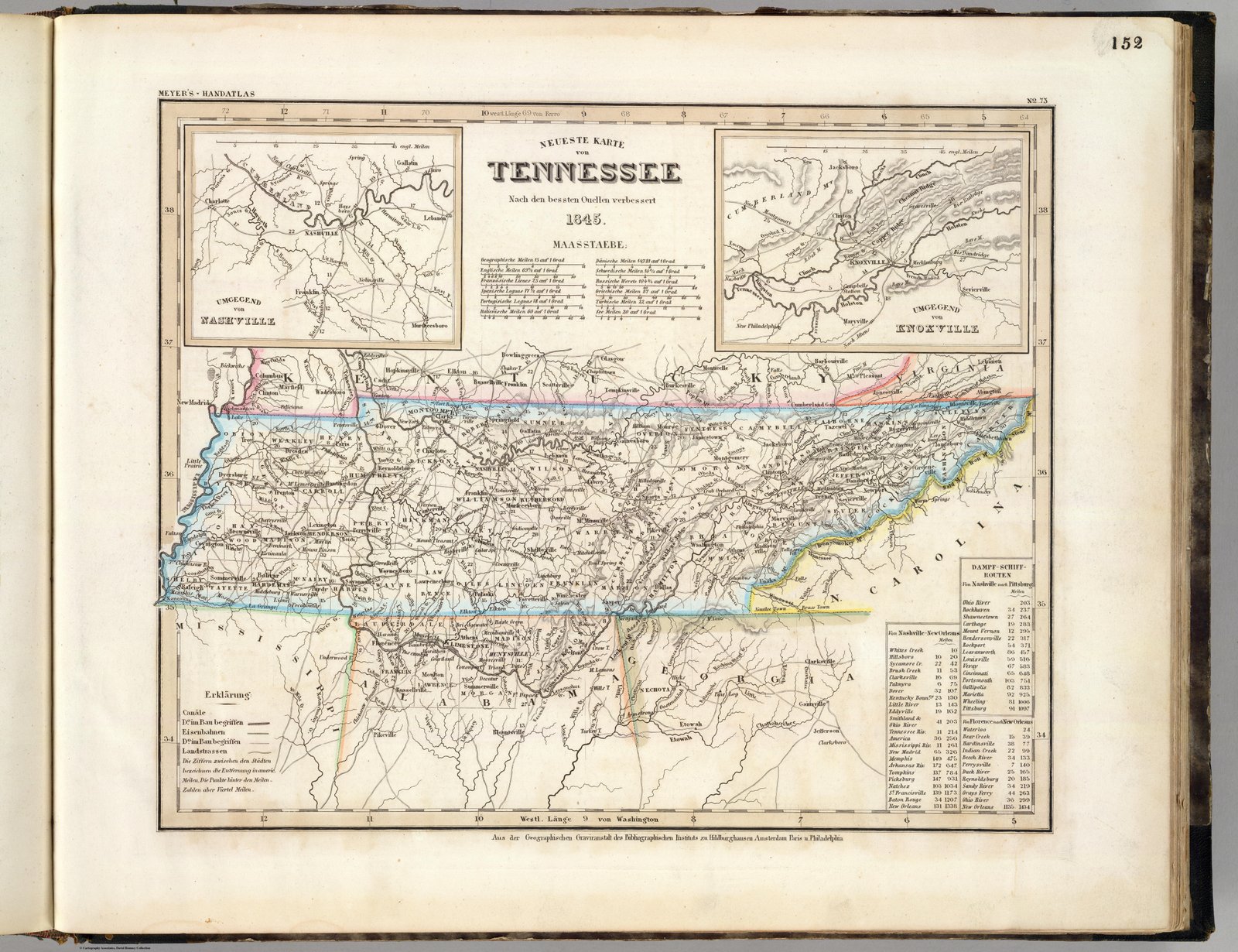
1845 German Map
1845 Sidney Morse Atlas
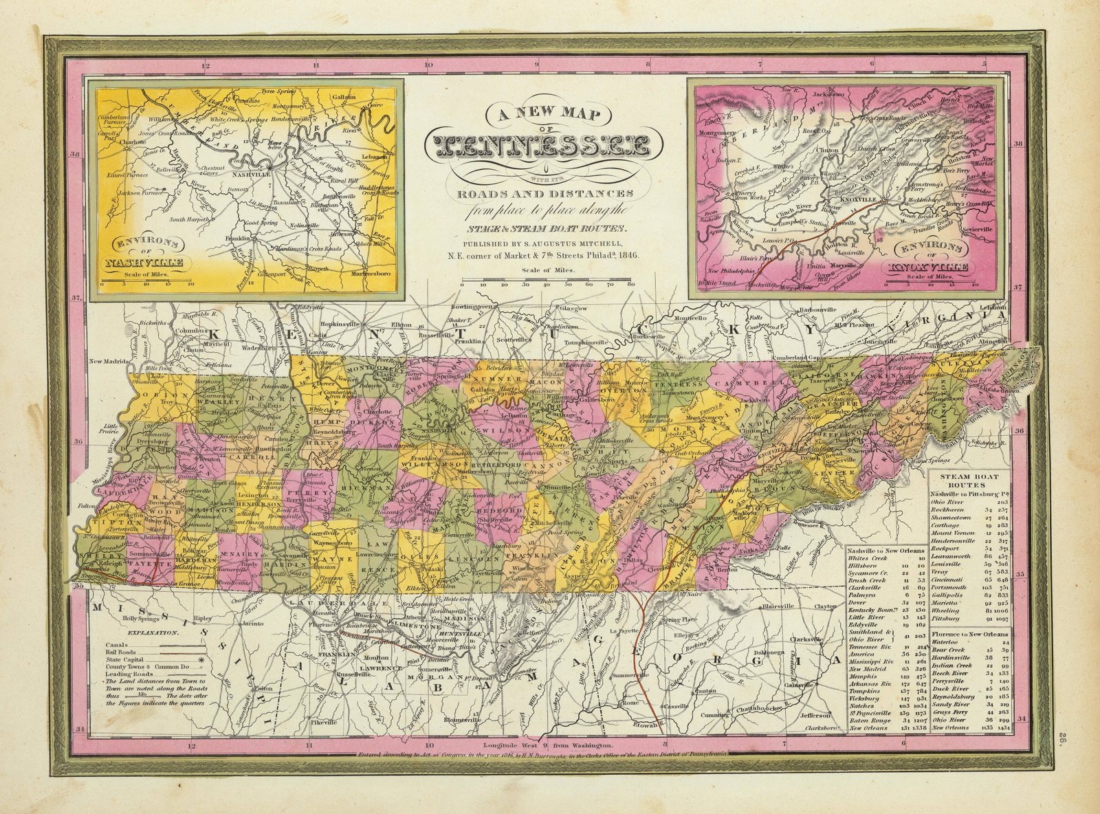
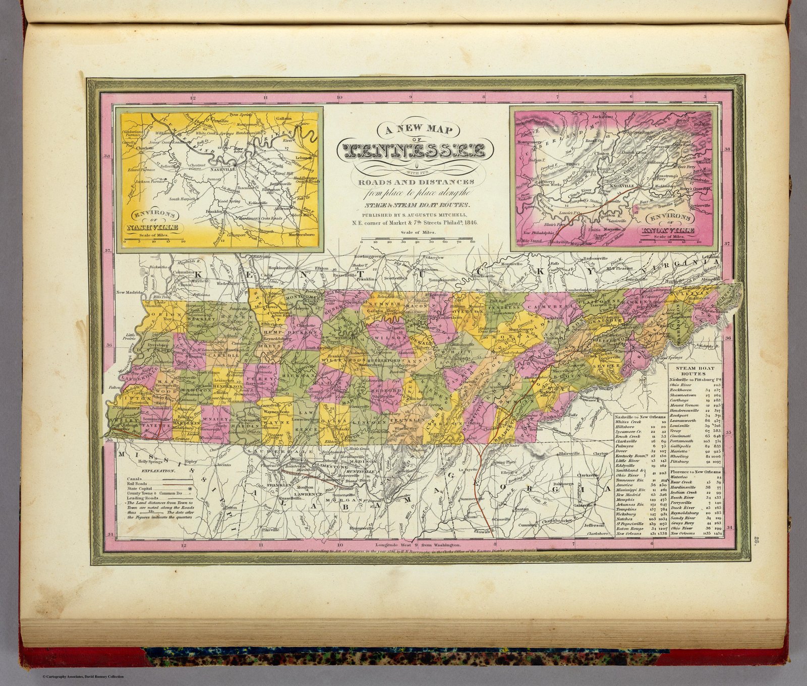
1846 Burroughs
1846 Mitchell
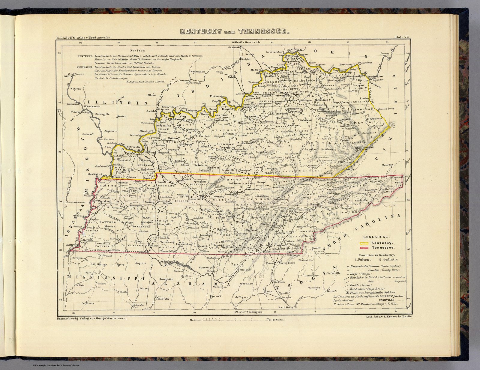
1854 Langes Atlas German
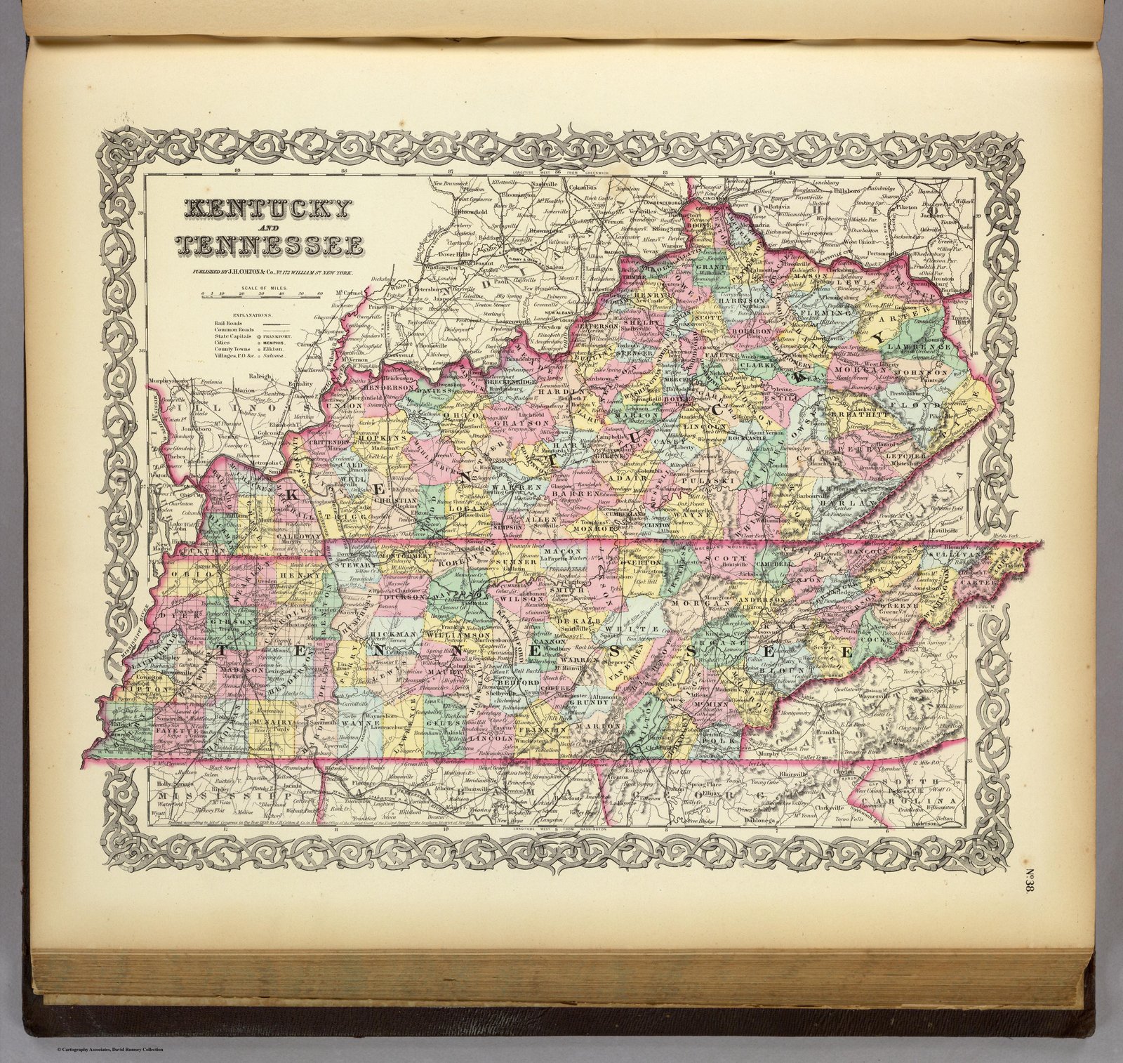
1856 Coltons Atlas
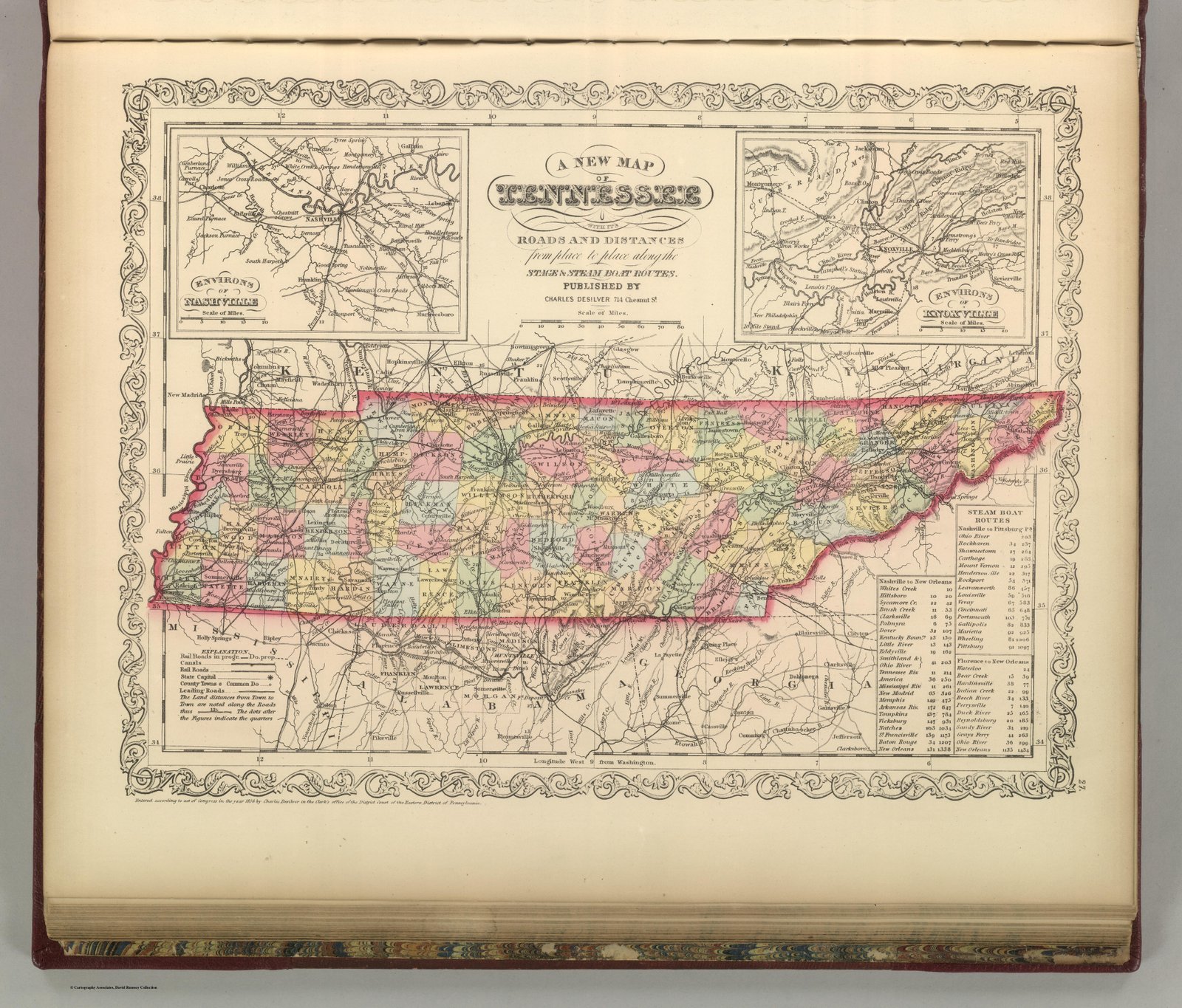
1856 DeSilver Steamboat Routes
1857 Stanford
1858 JH Colton
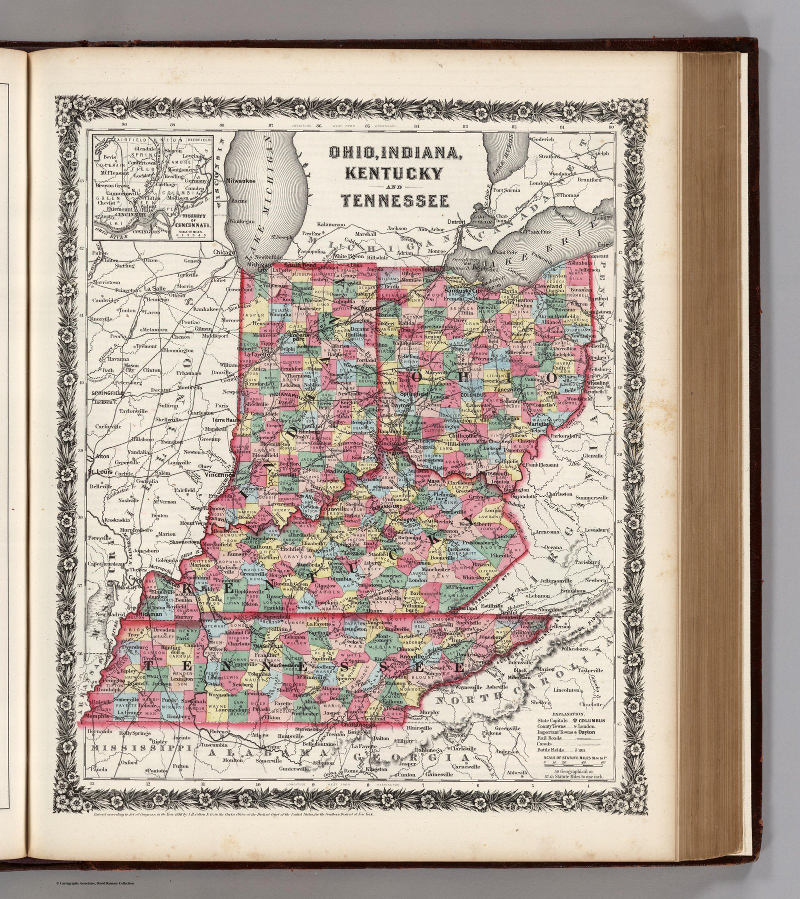
1860 Augustus Mitchell Atlas 1860
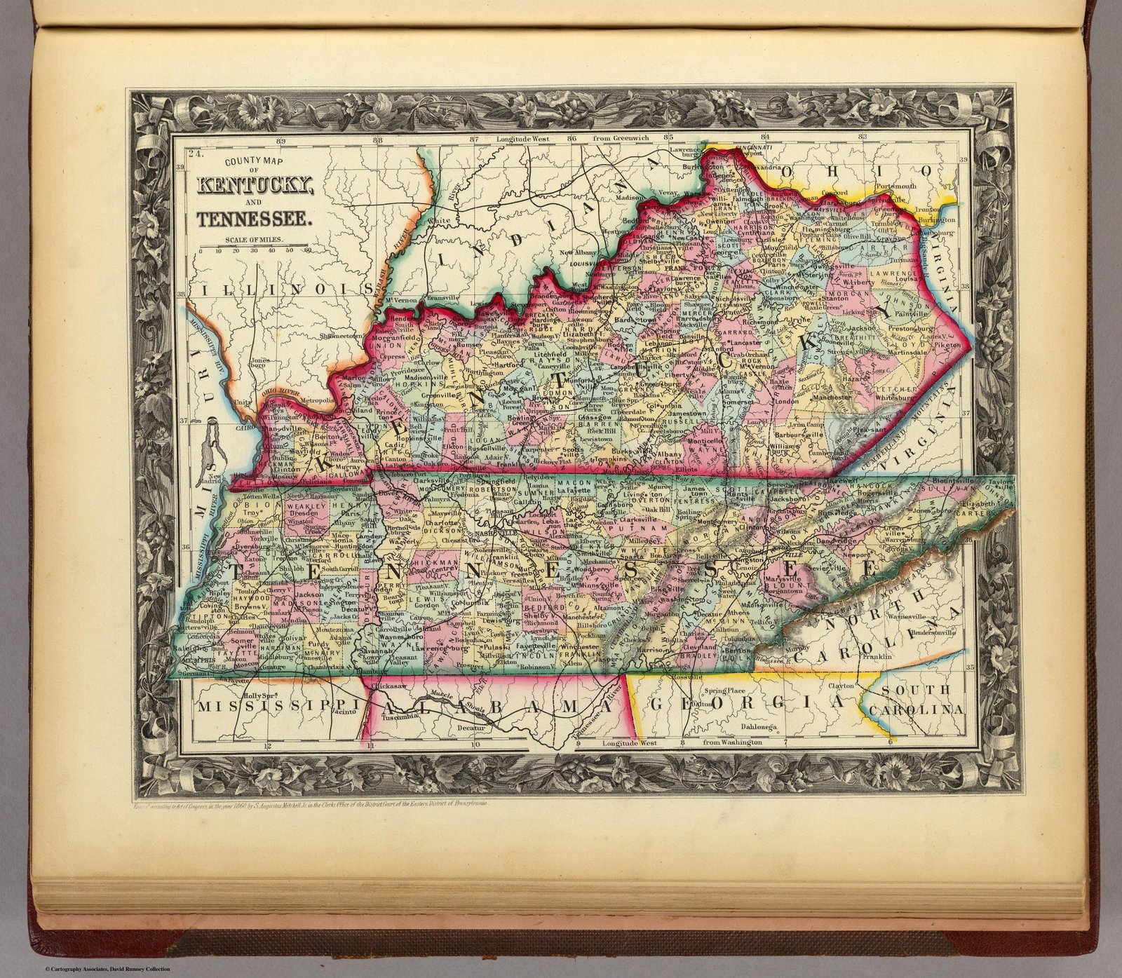
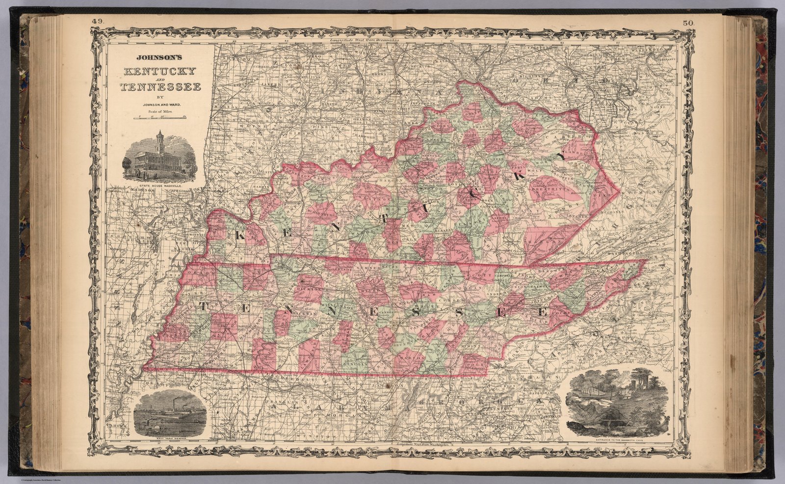
1860 Johnsons Atlas
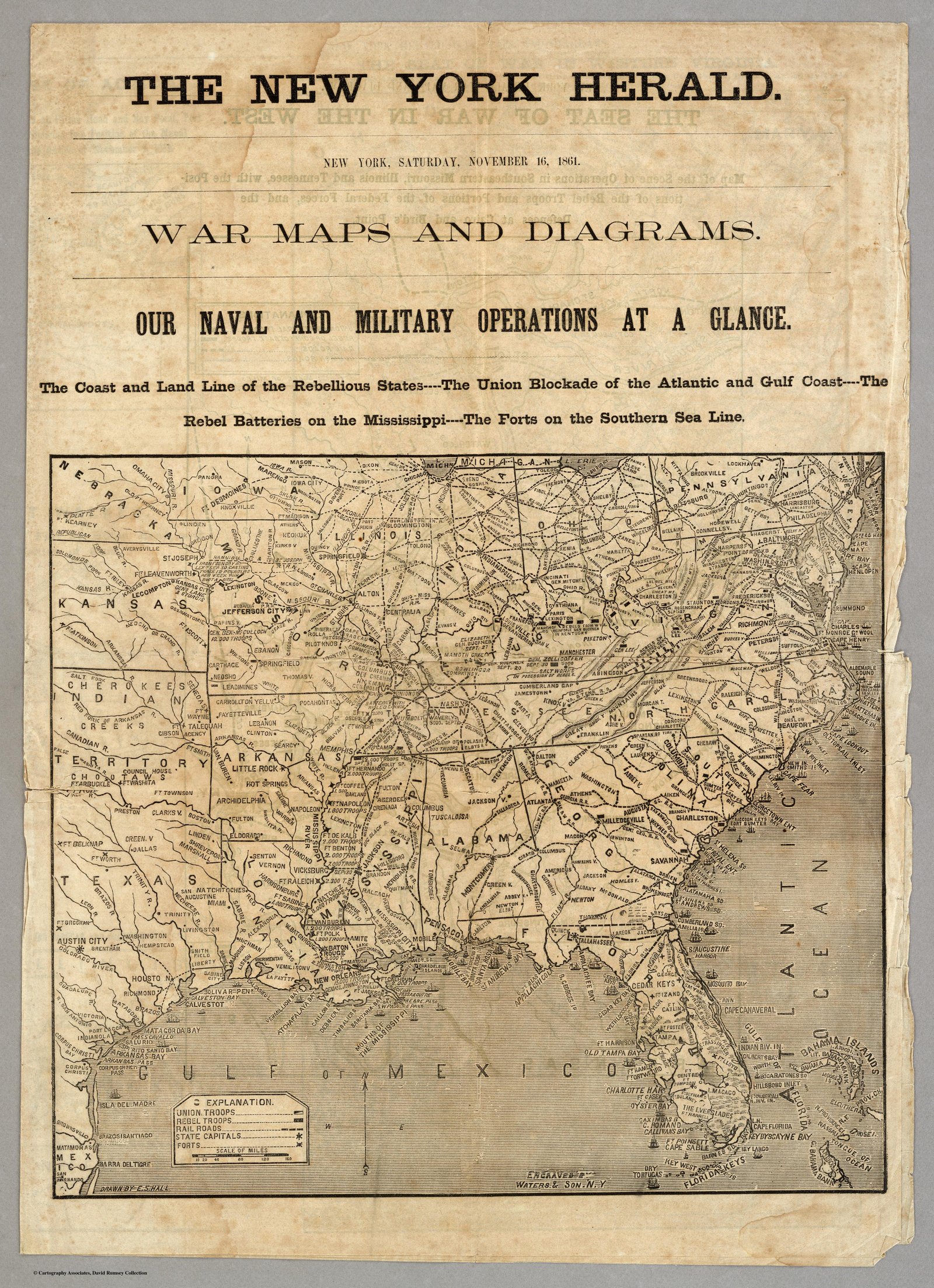
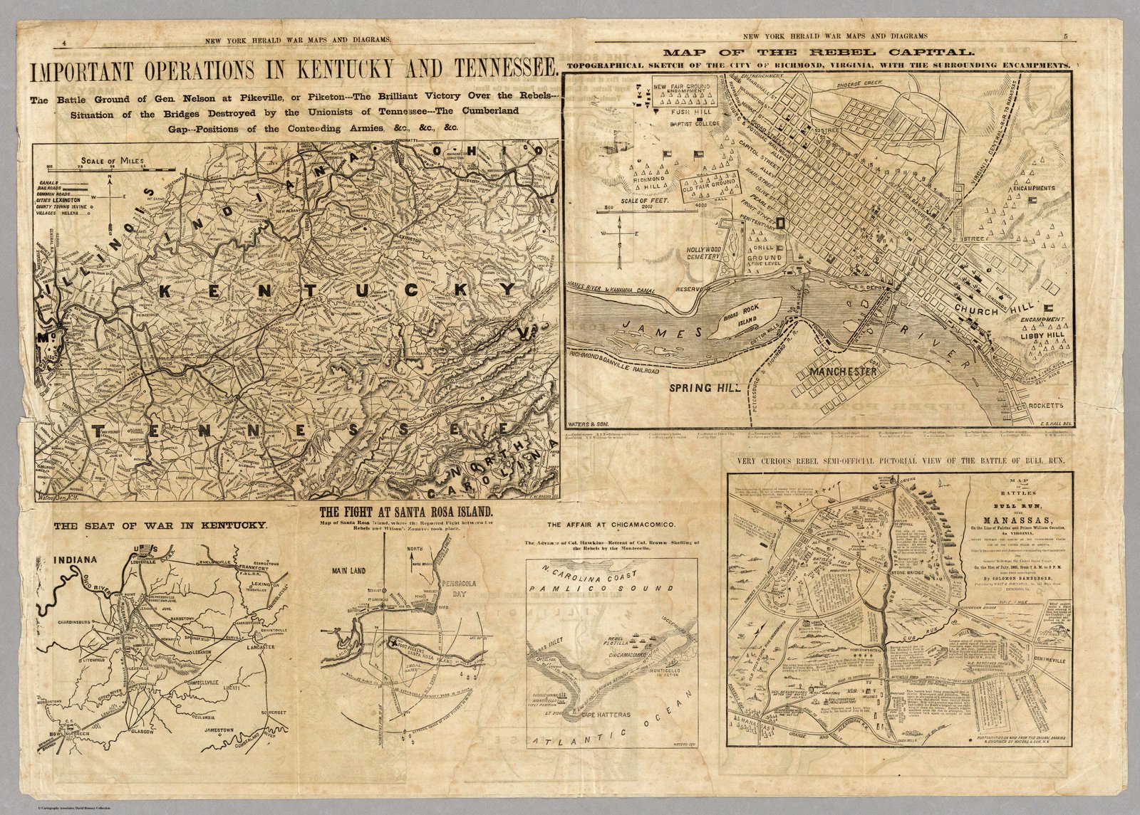
1861 War Map in Newspaper
1861 War Map
1863 Military Map
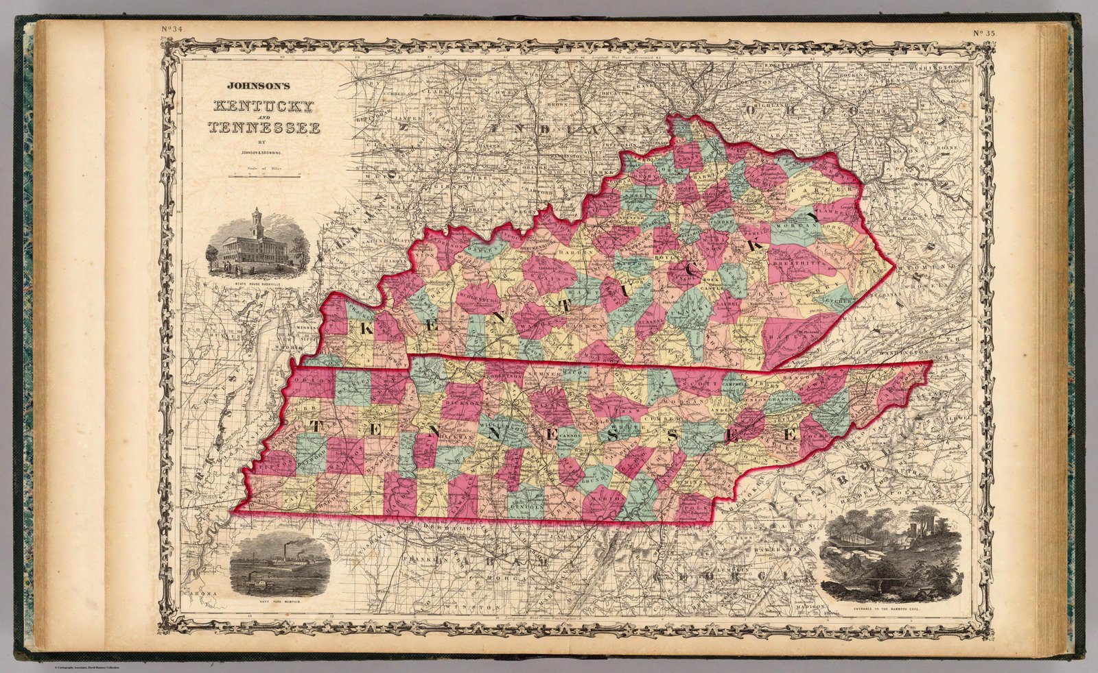
1864 Johnson
1872 Fullarton
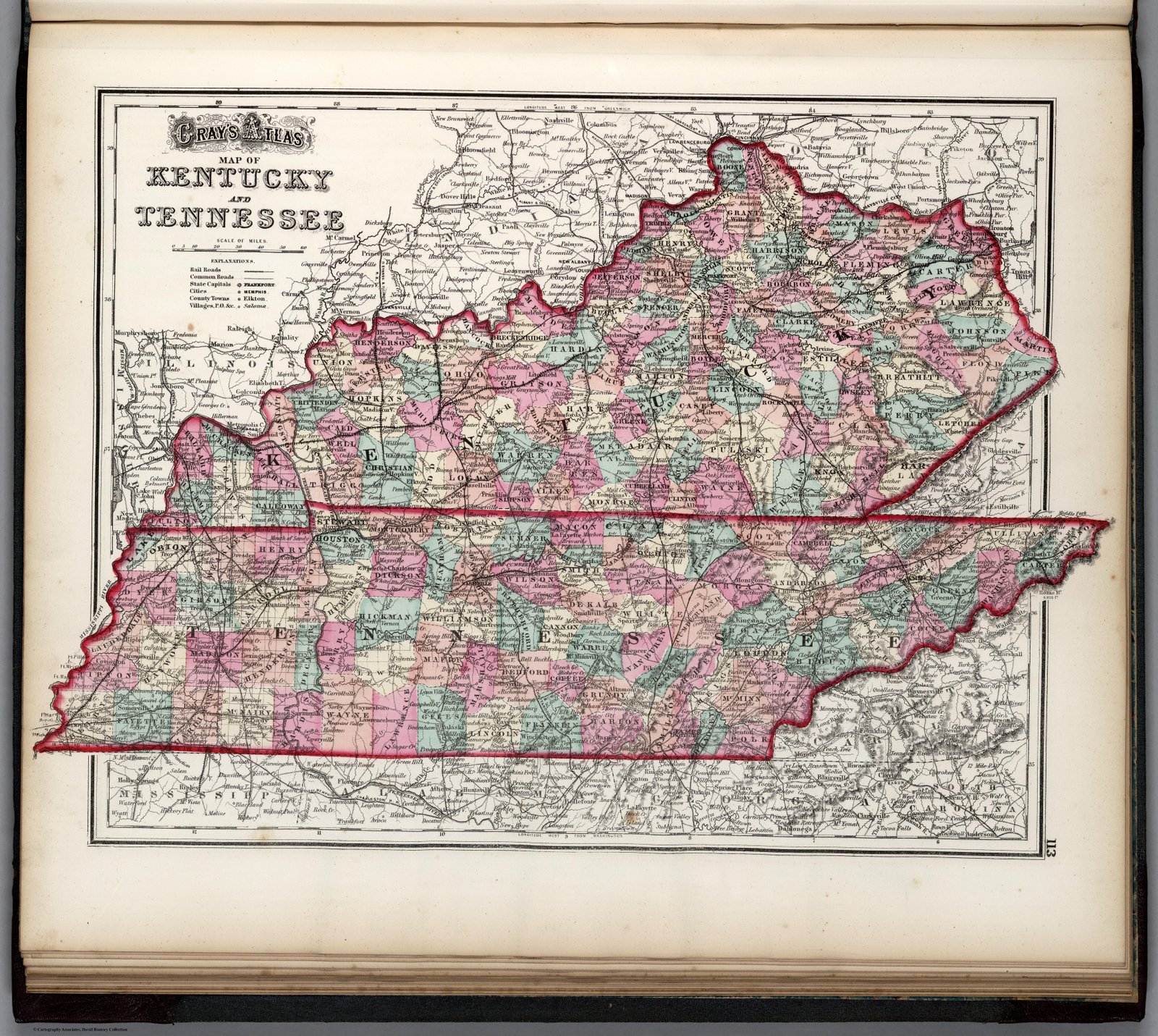
1873 Gray
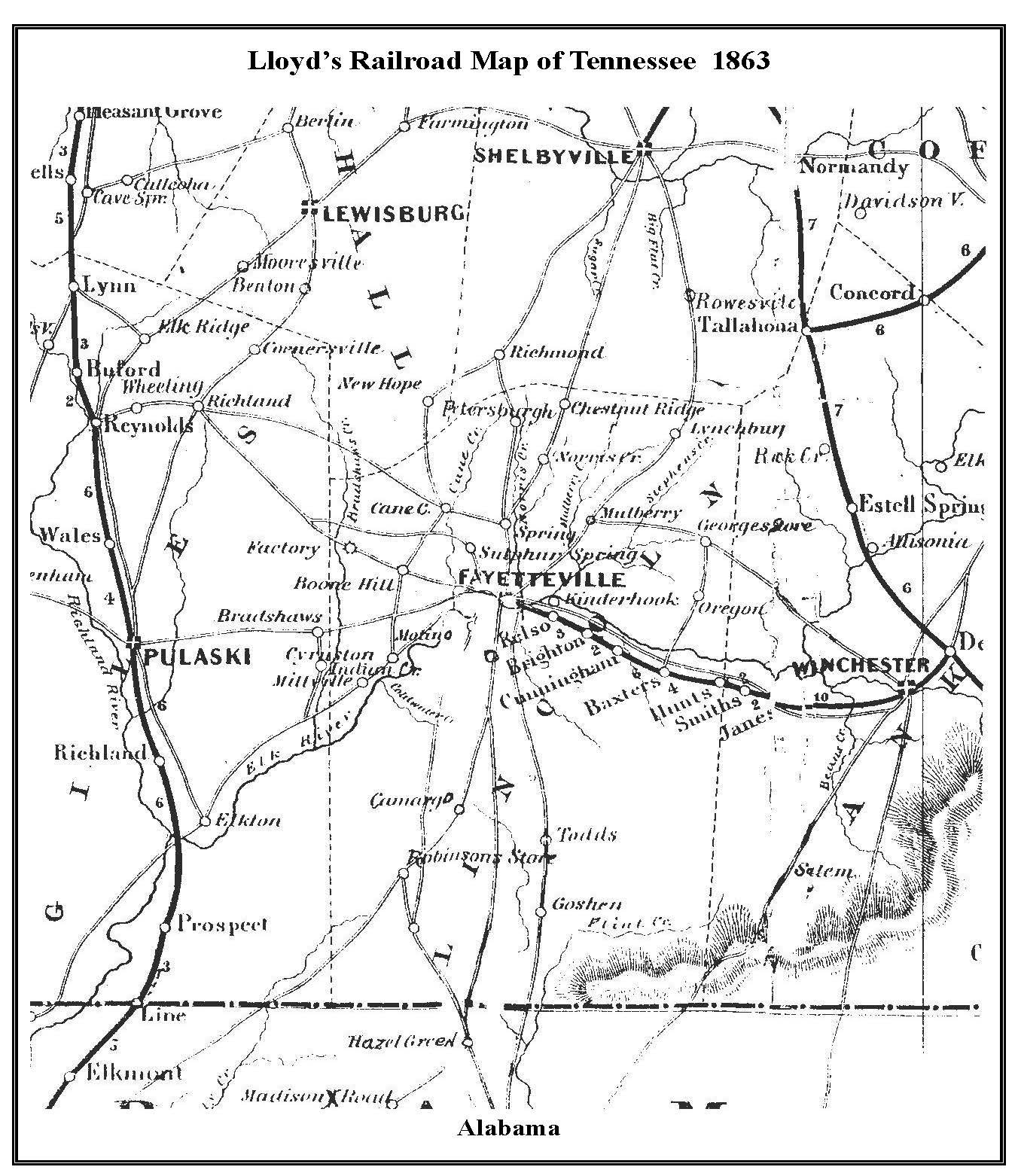
1873 HH Loyd
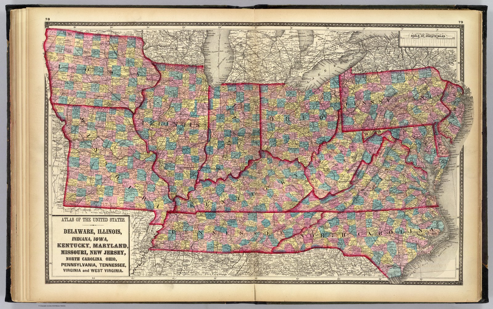
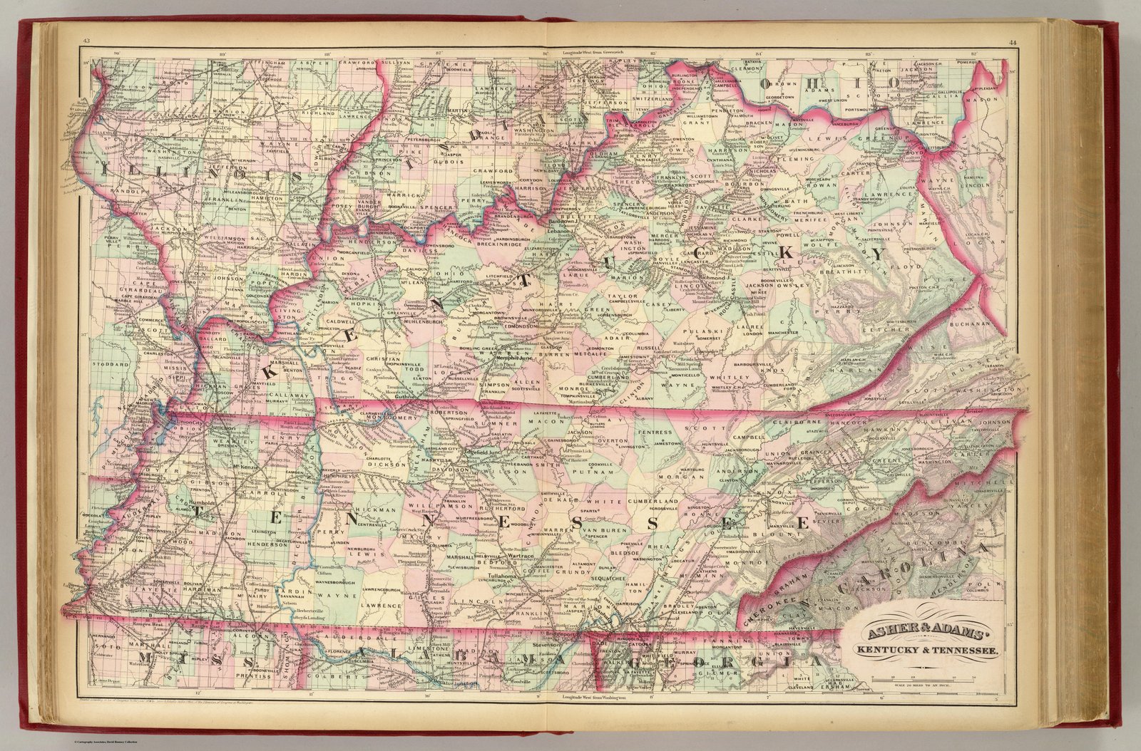
1874 Asher and Adams Tennessee and Kentucky
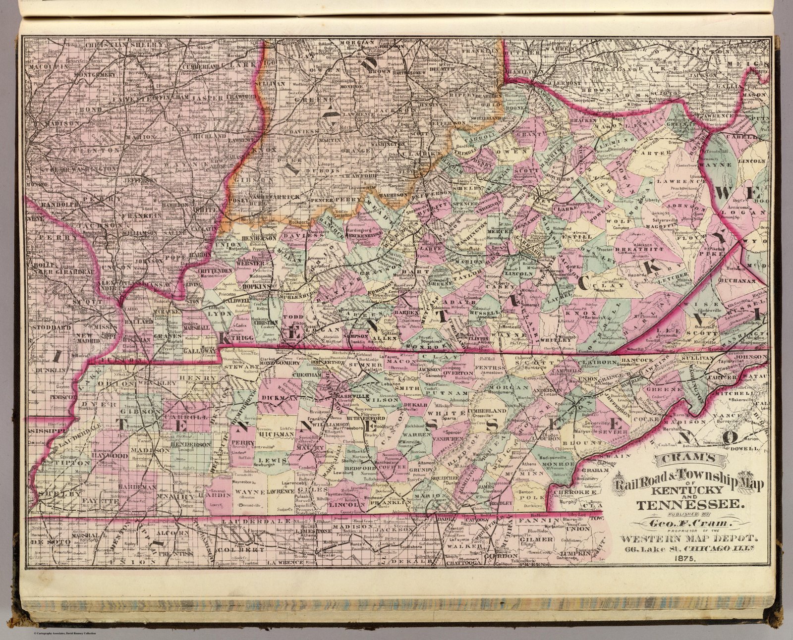
1875 Crams Atlas 1875
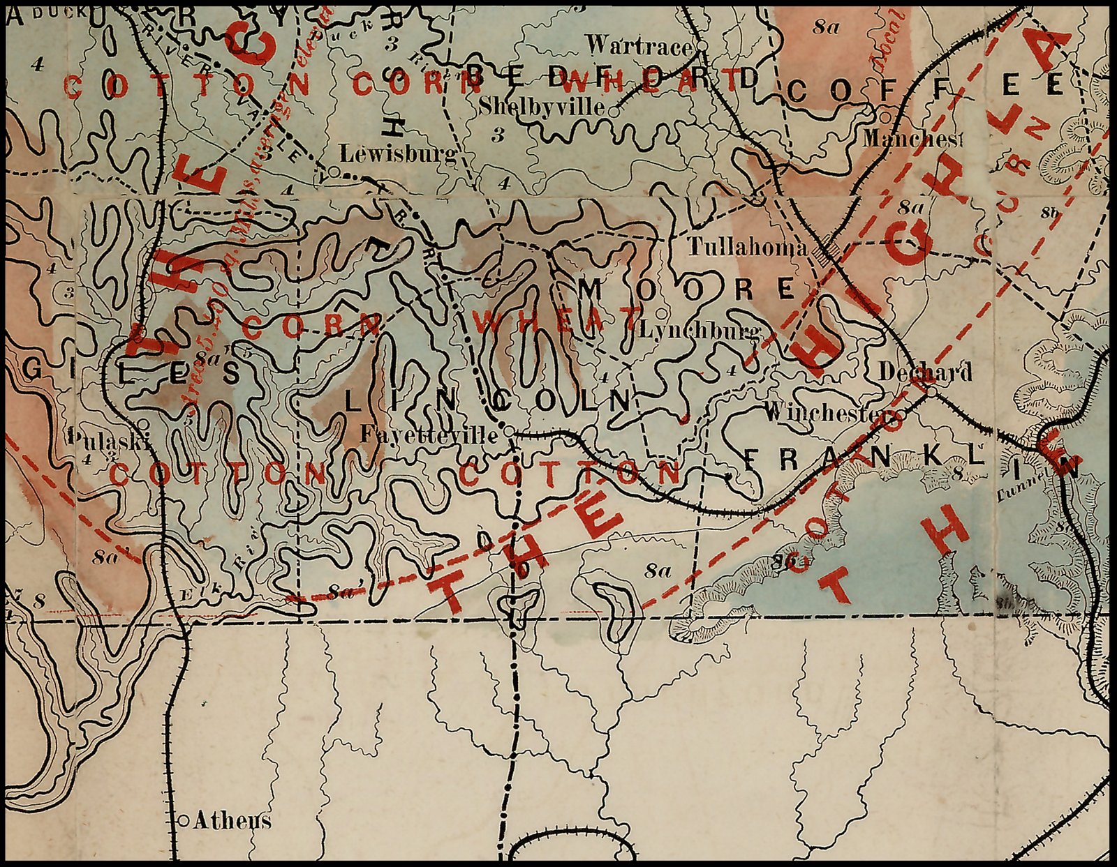
1876 Ag and Geological Map
1879 Augustus Mitchell Atlas 1879 WS Gamble Engraver
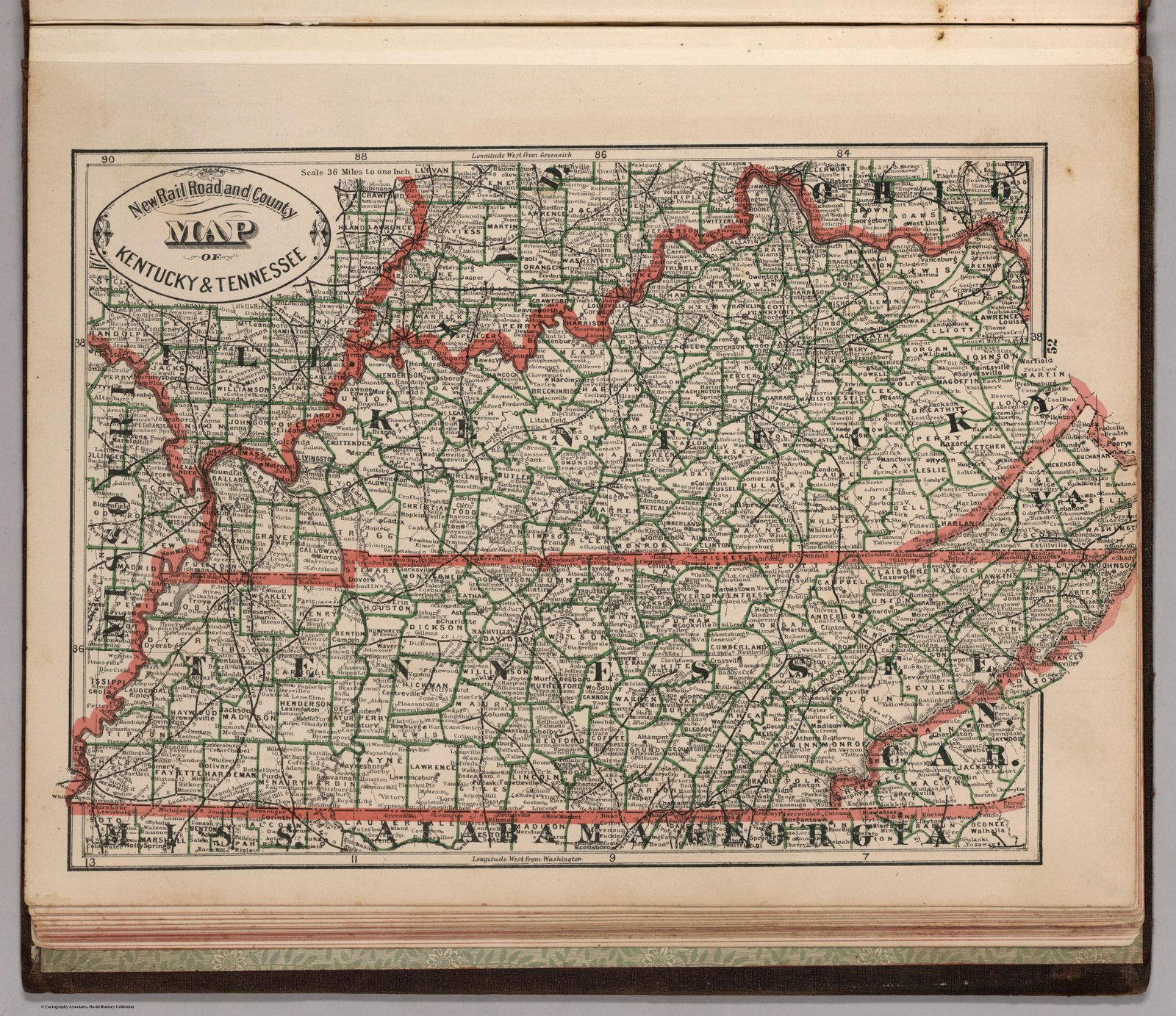
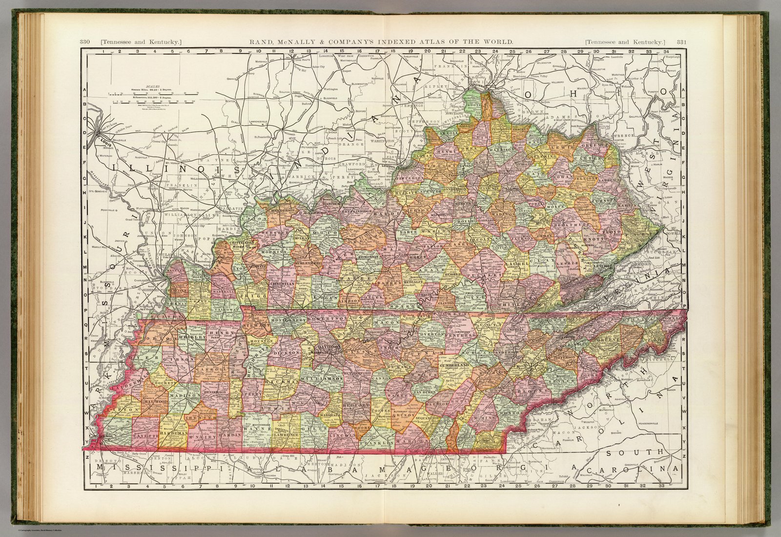
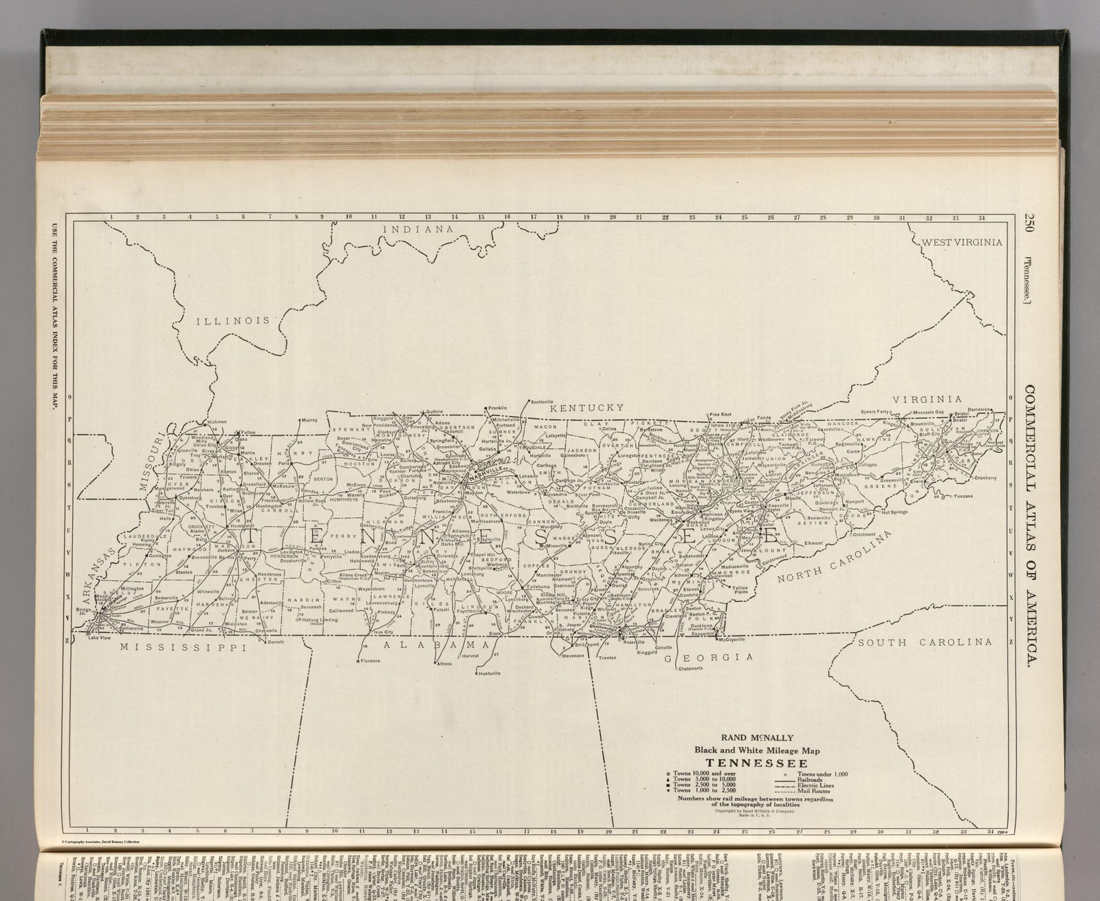
1879 Rand McNally
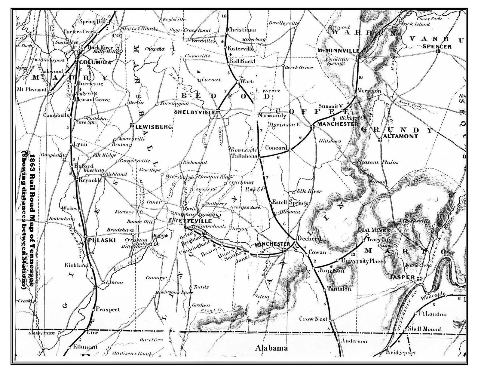
1883 Railroad Map
1887 Wm M Bradley and Bro
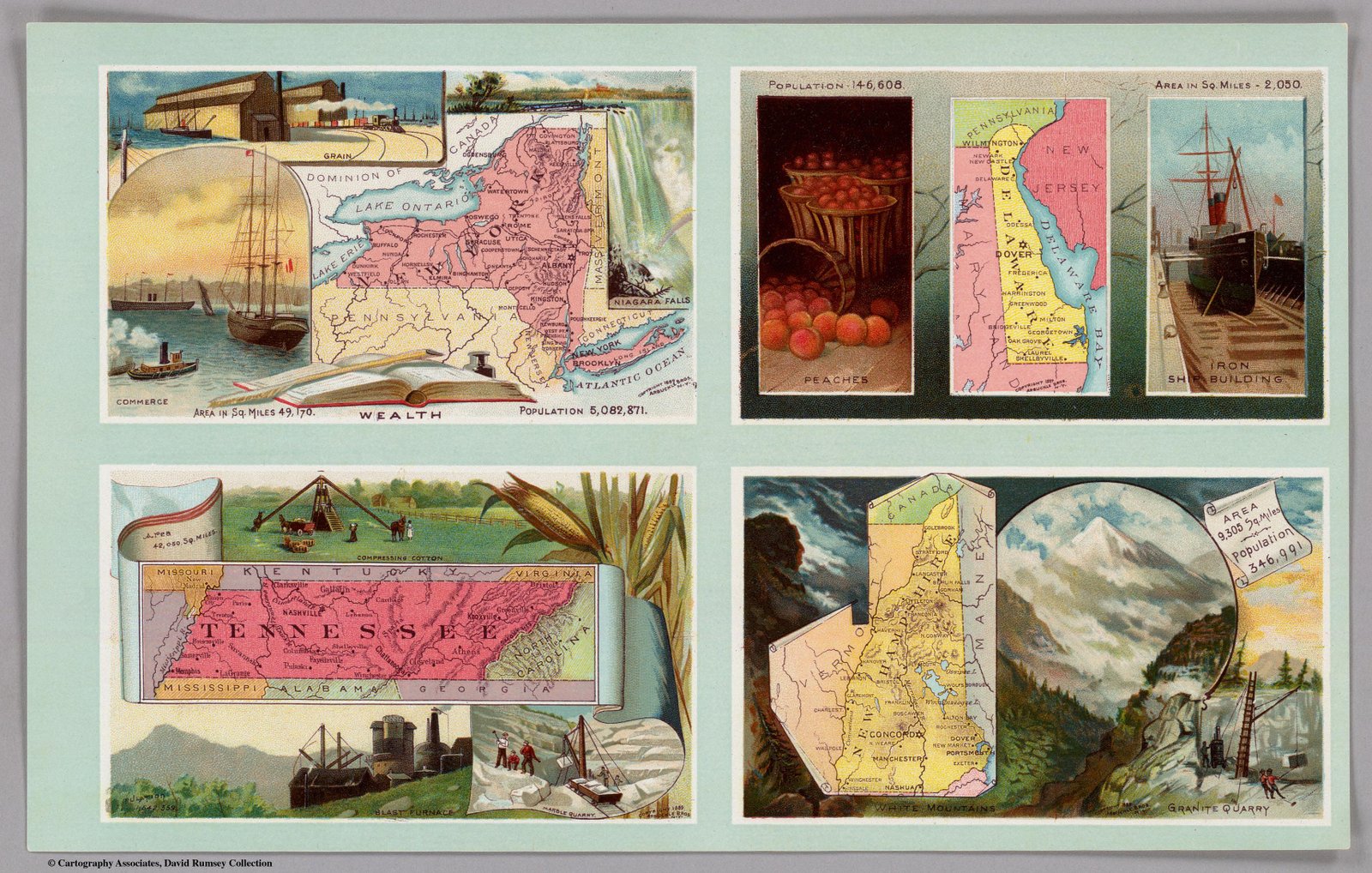
1889 Arbuckle Coffee Co
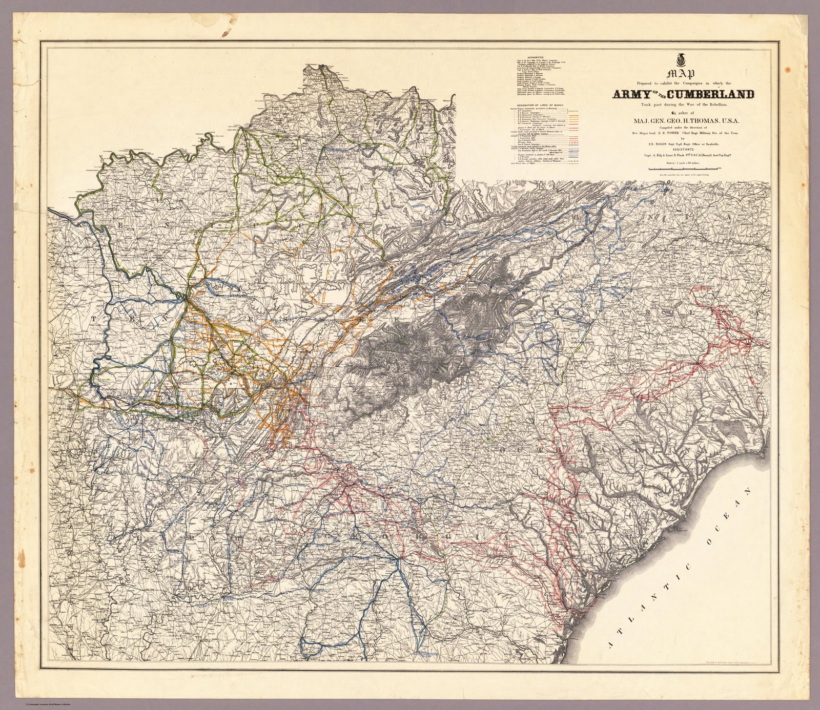
1891 Army of the Cumberland
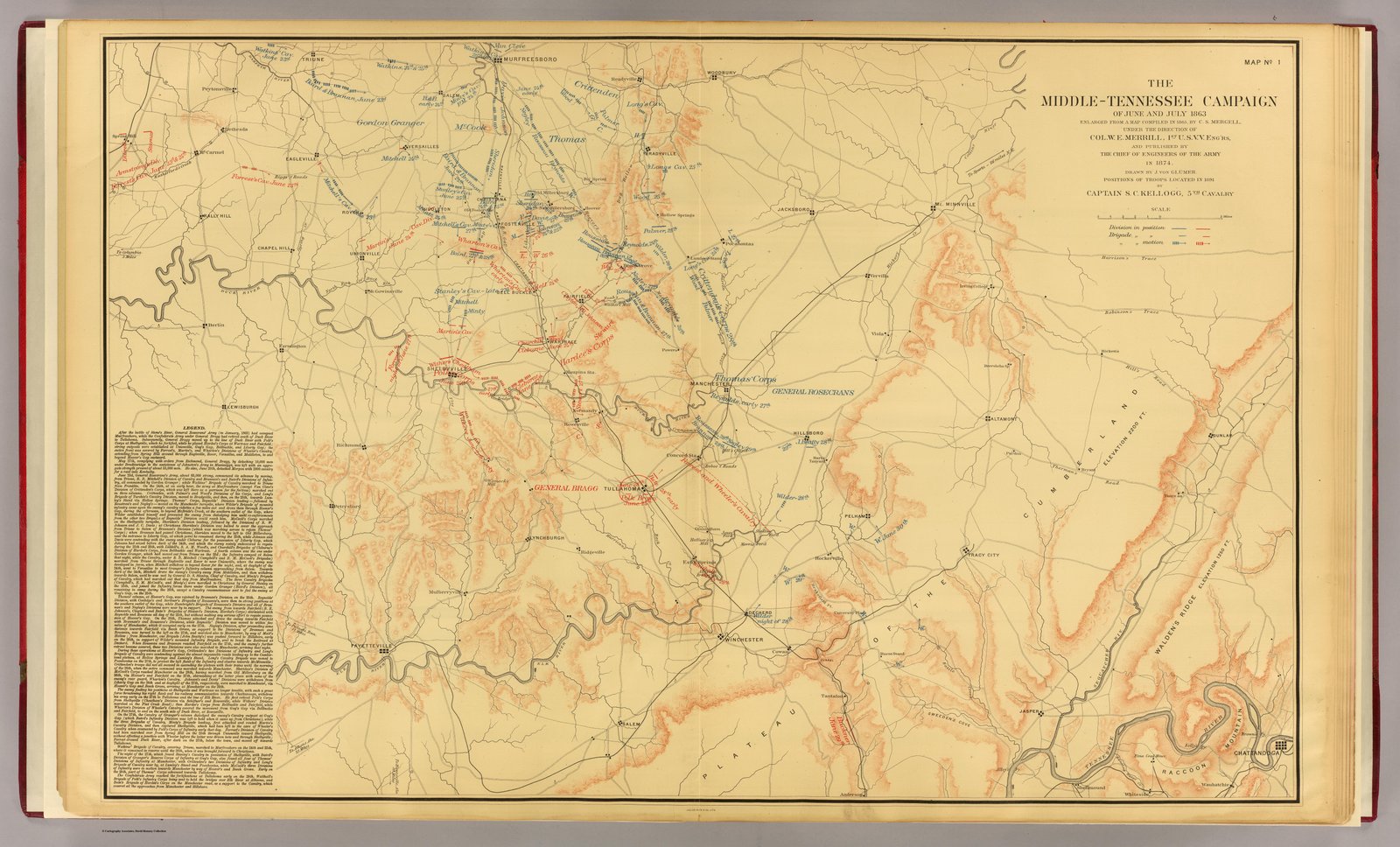
1891 Middle Tennessee Campaigns
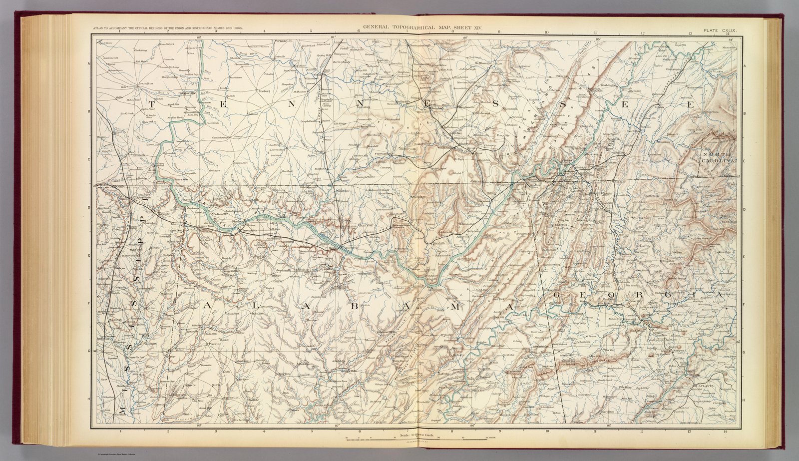
1891 Topo Map US War Dept
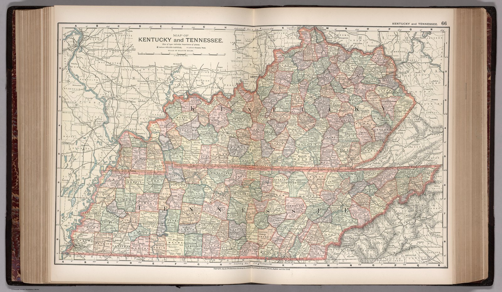
1891
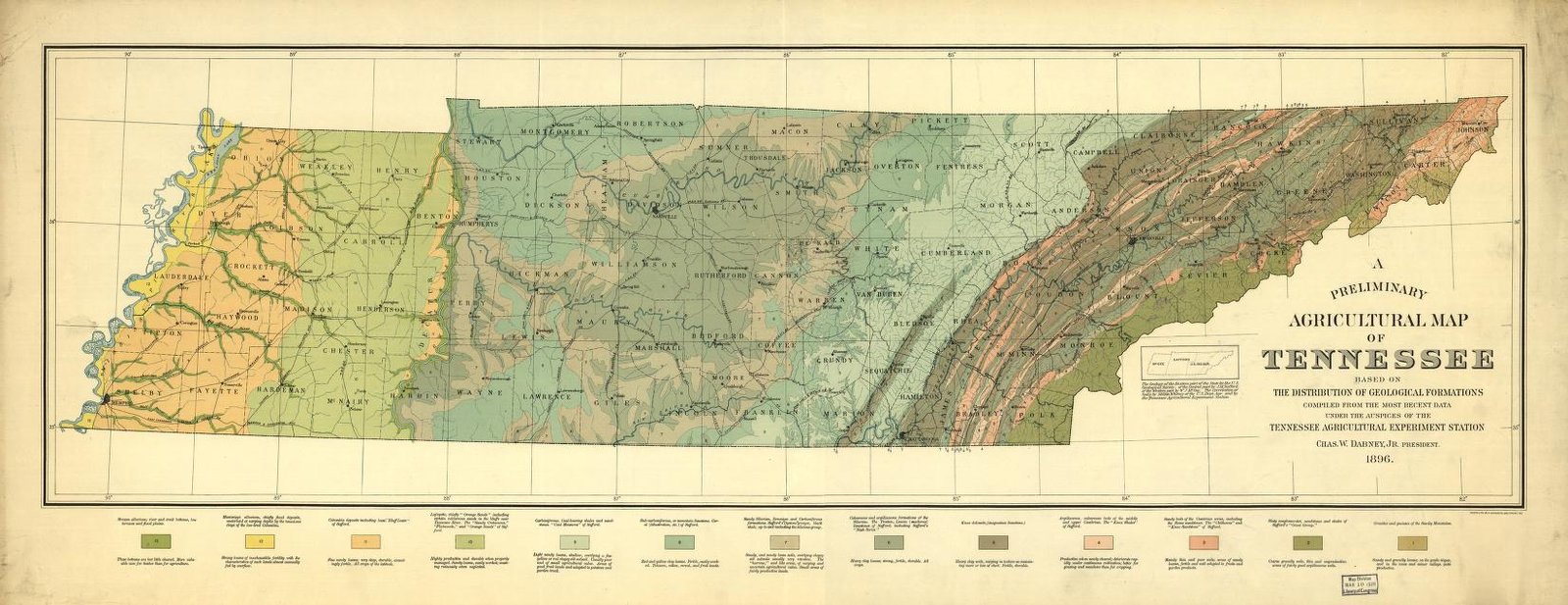
1896 Agricultural Map
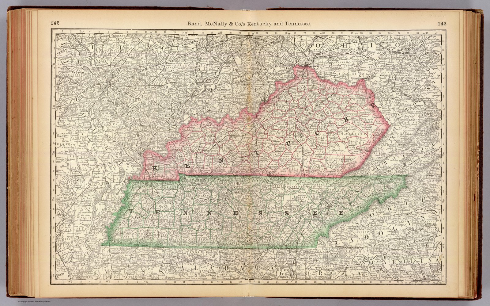
1897 Rand McNally
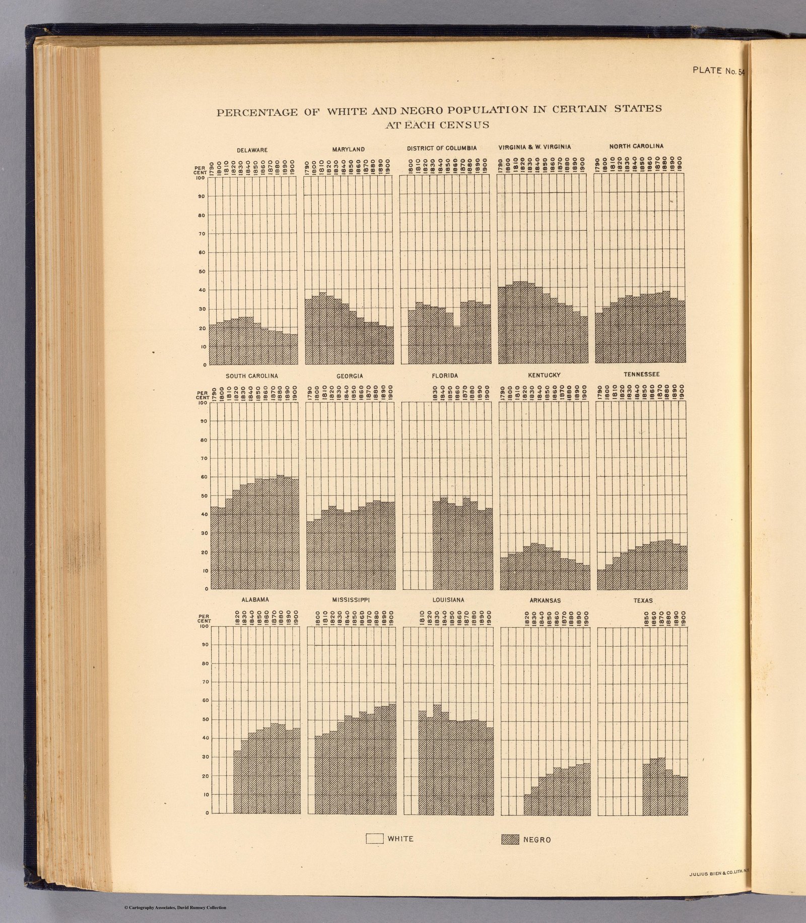
1903 Demographic Chart
1922 Bartholemew
1924 Rand McNally
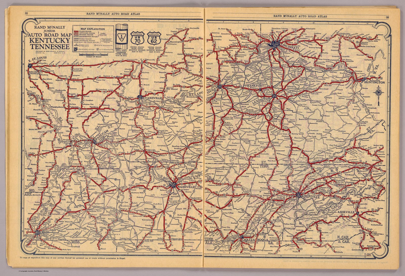
1927 Rand McNally Road Map
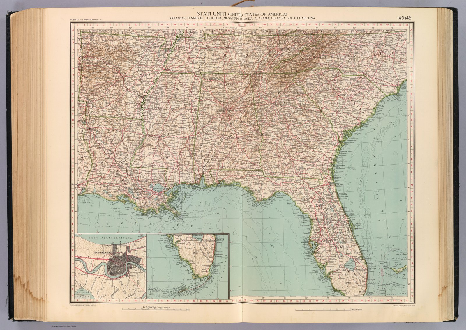
1929 Touring club italiano
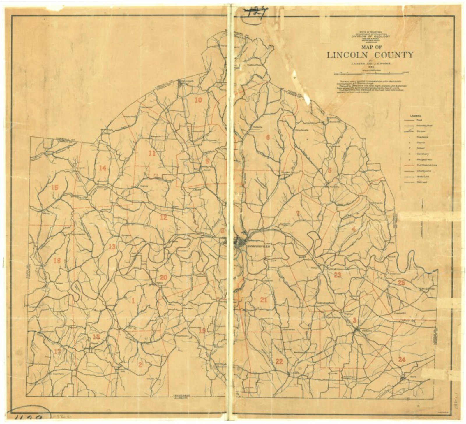
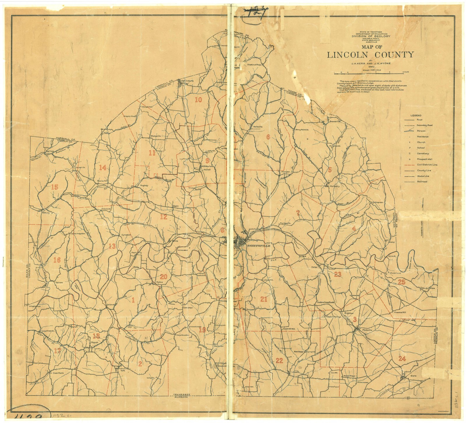
1930 Lincoln Map
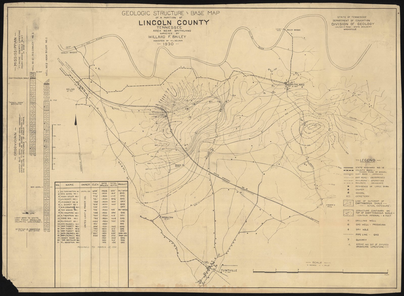
1931 Geologic Map Smithland
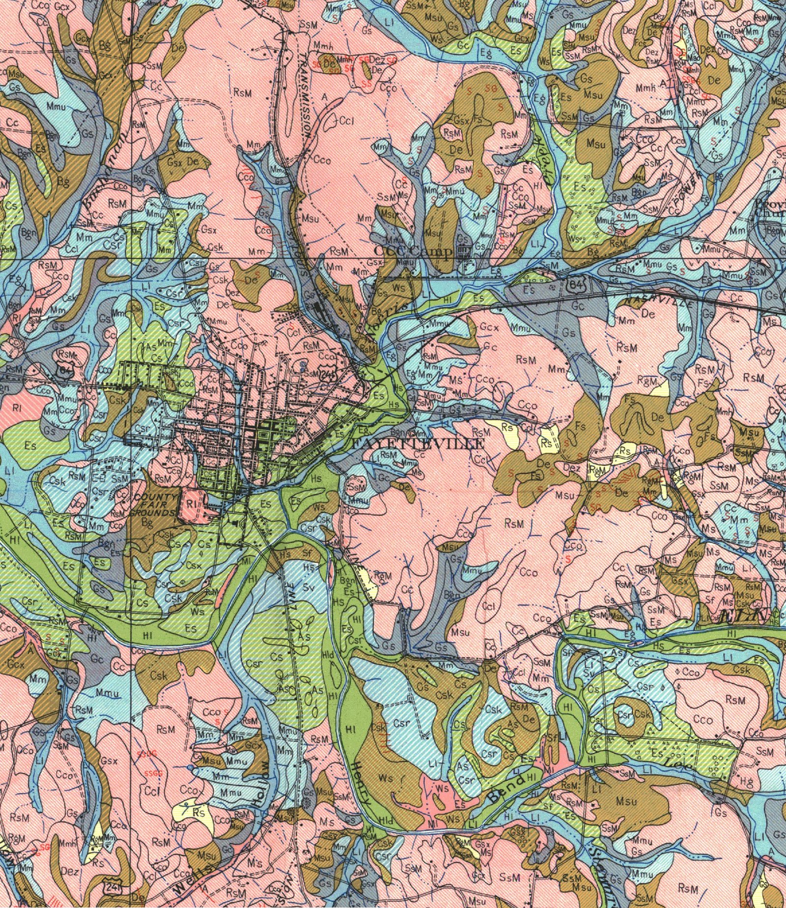
1937 USDA Soils Map of Fayetteville
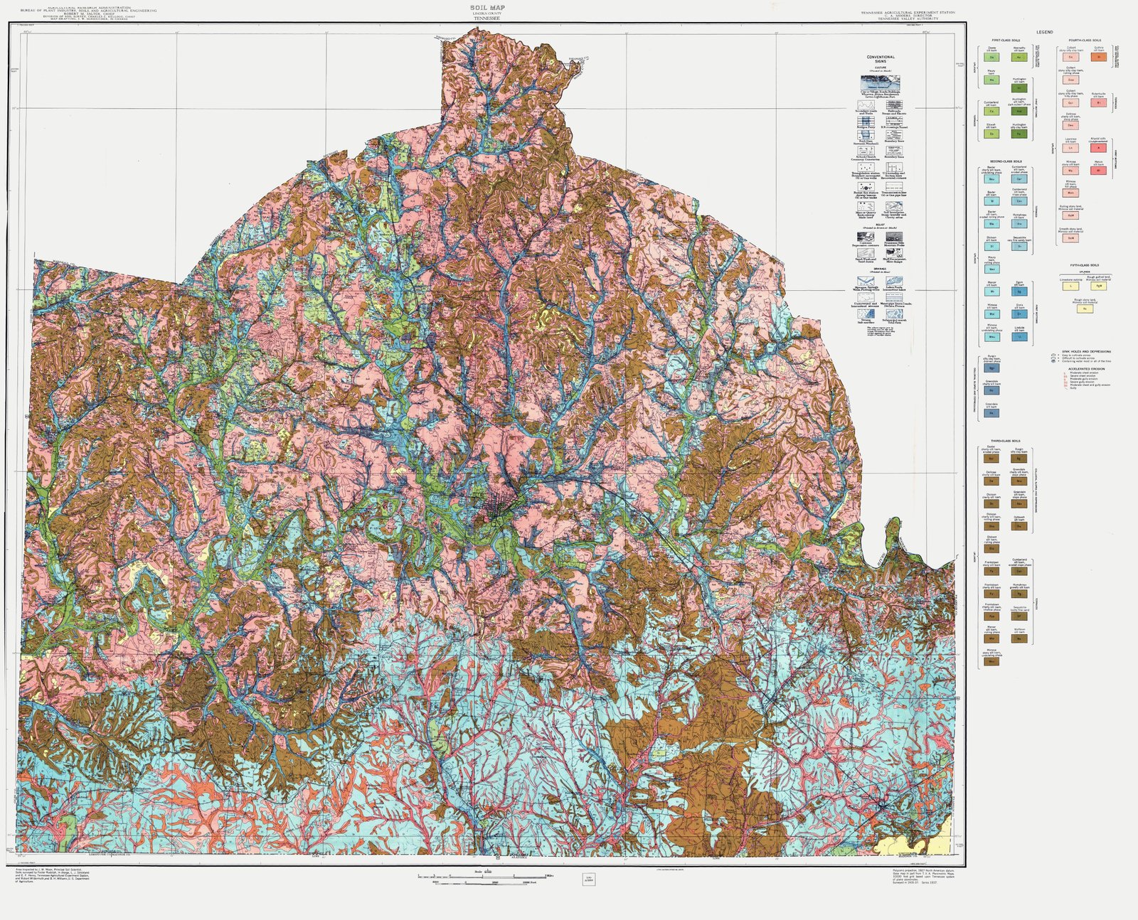
1937 USDA Soils Map of Lincoln County TN
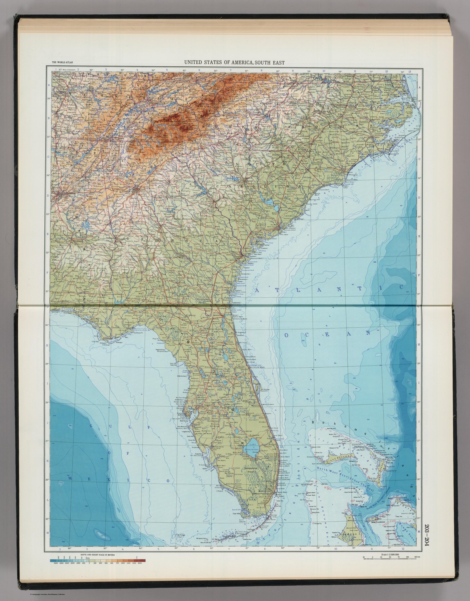
1967 USSR Map of the Southeast
Aboriginal Map 1886
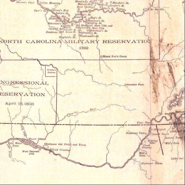
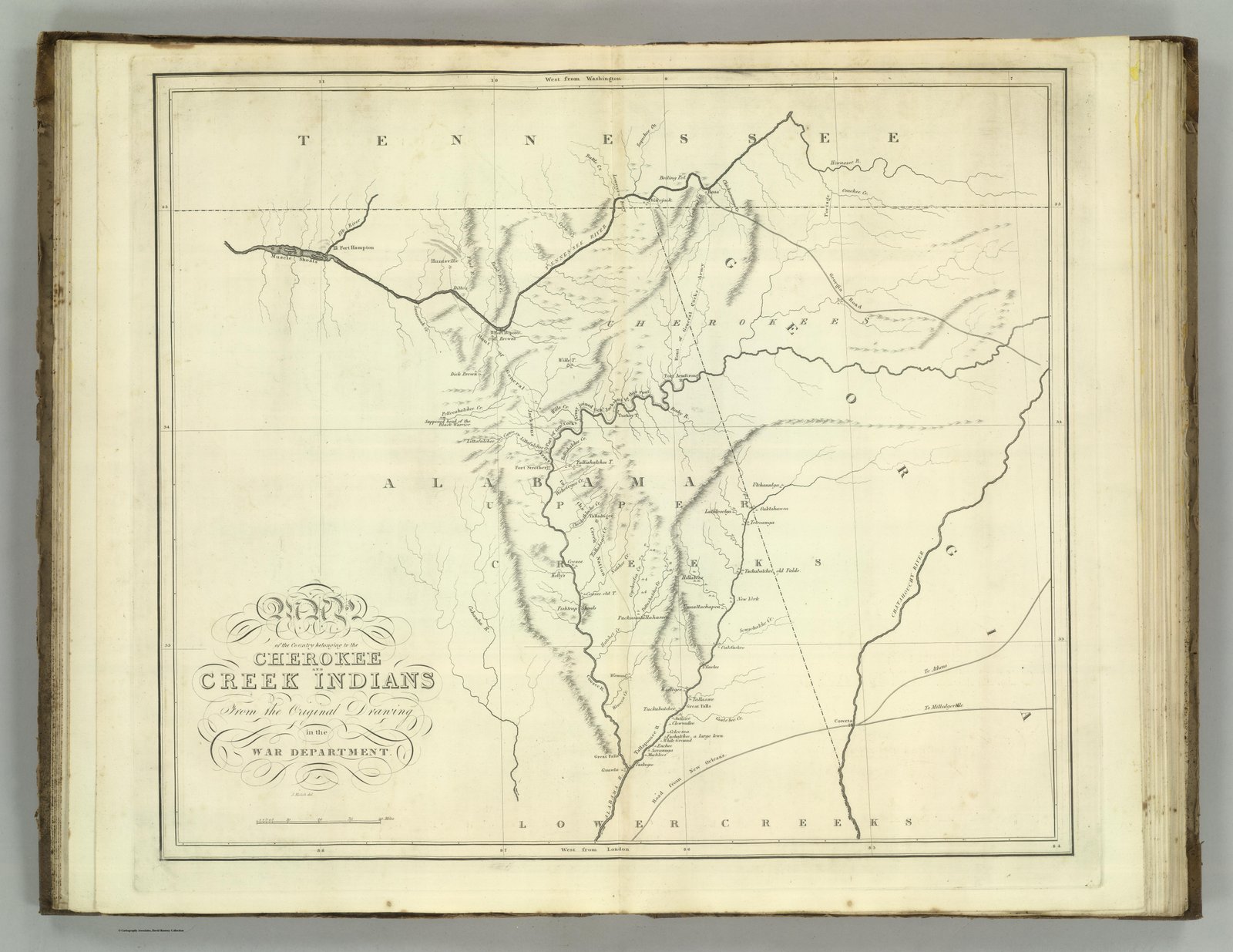
Cherokee and Creek Indian Lands
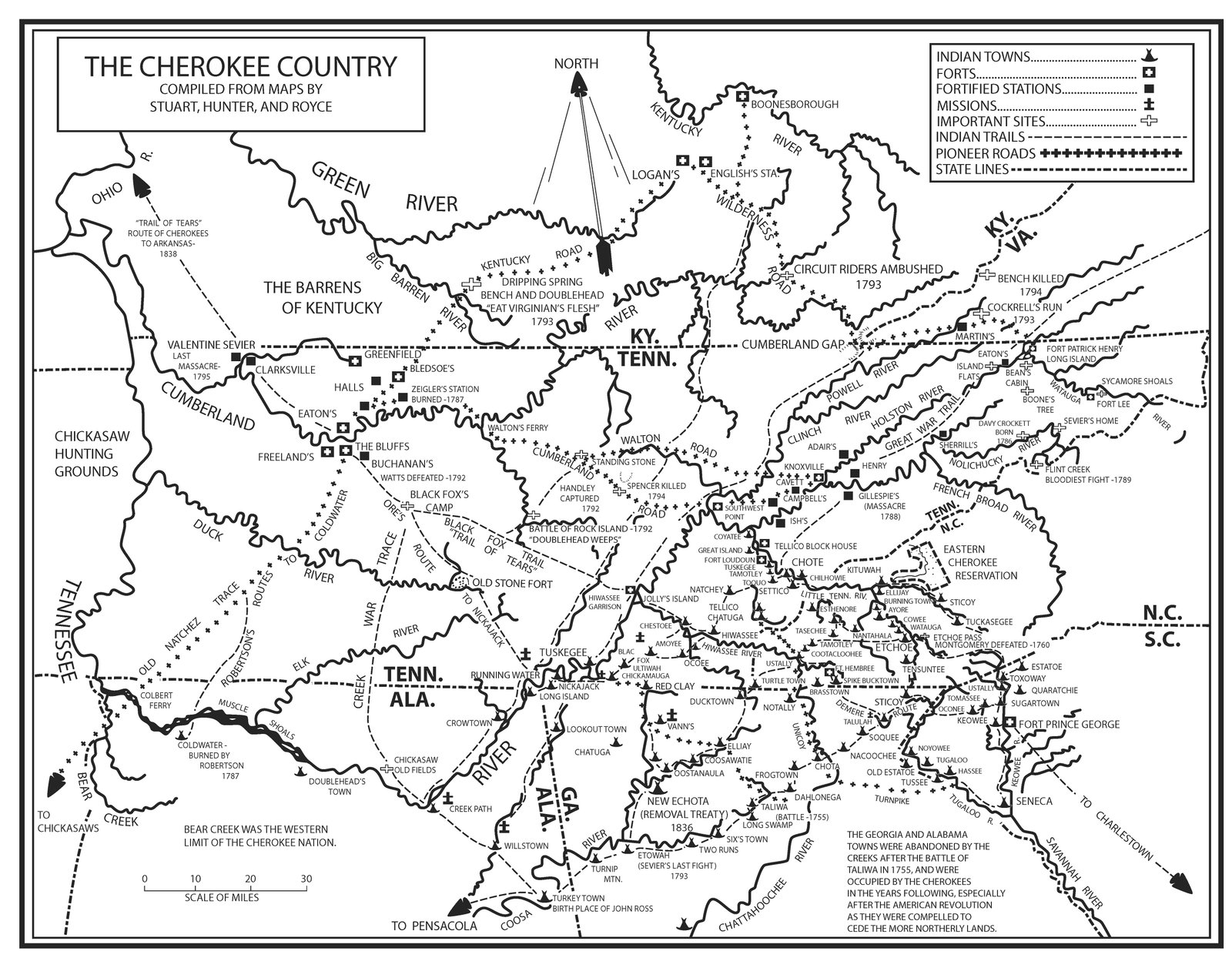
cherokeemap
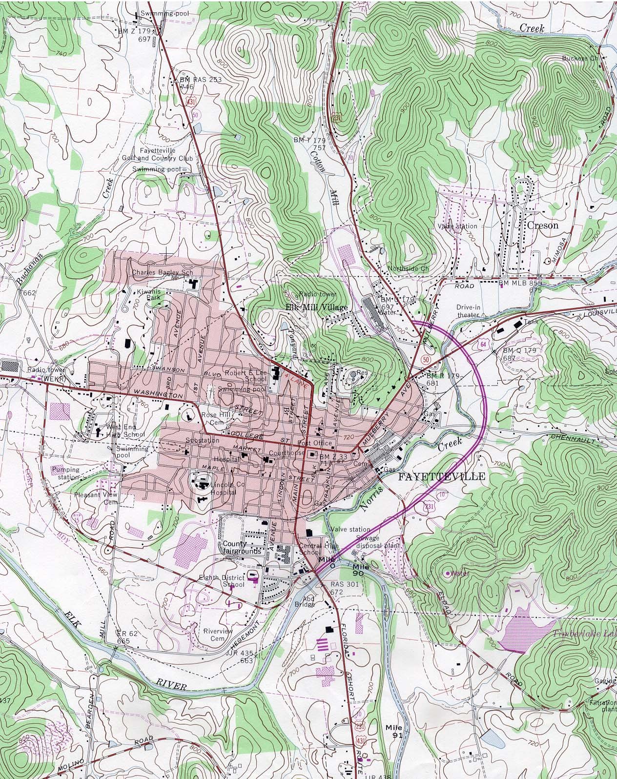
fayetteville_tn82 quad
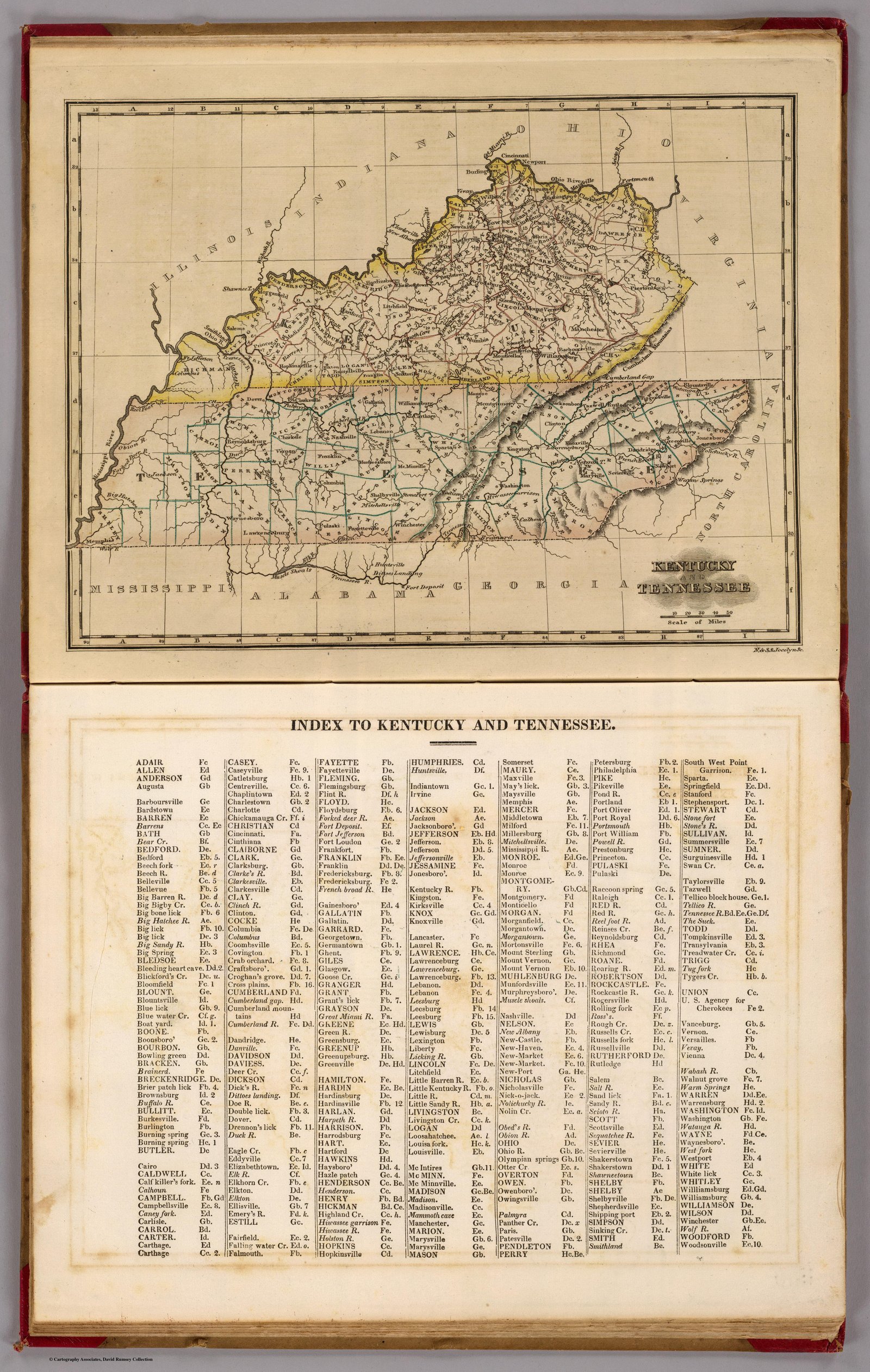
Jocelyn Cartographer
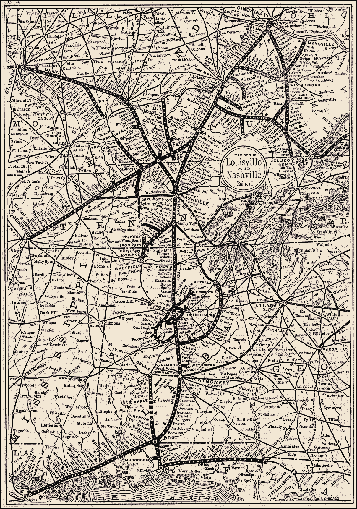
L and N 1895map
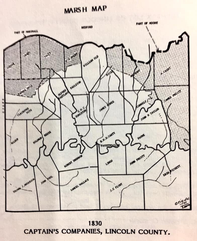
LCT 1830 Map
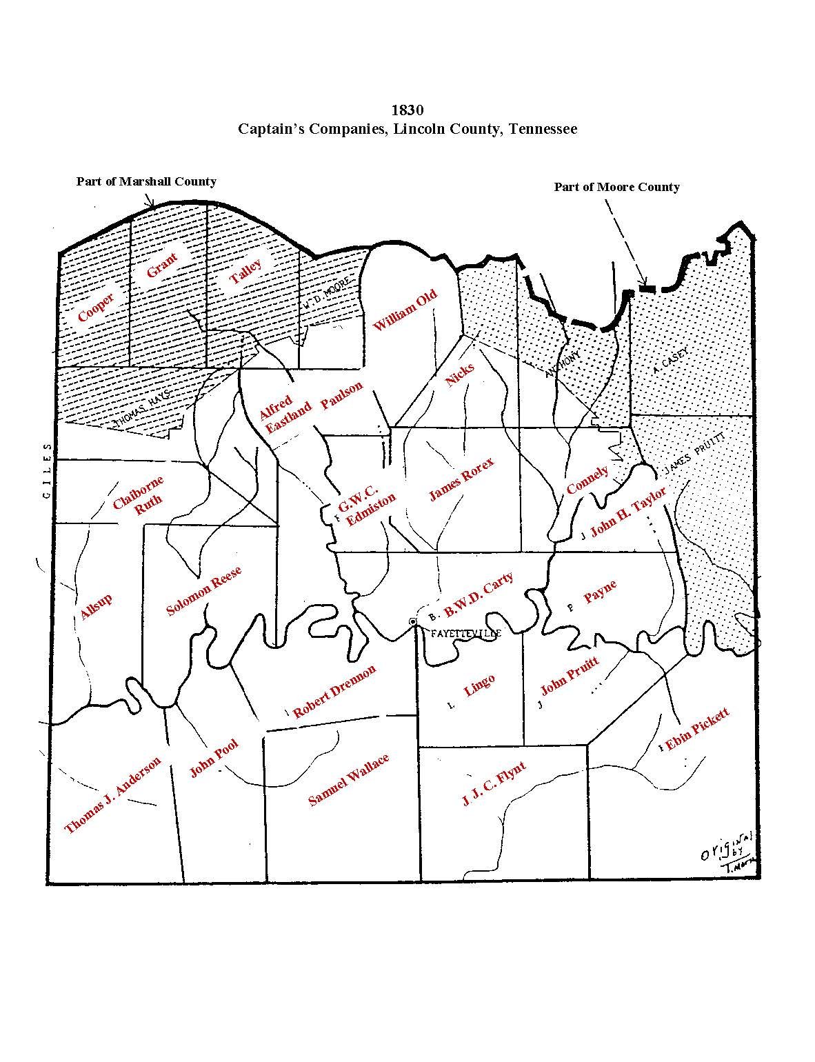
LCT 1830_Map modified
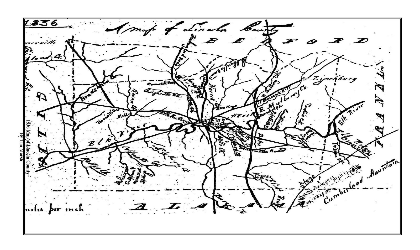
LCT 1836 Map_by_Marsh_Page_1
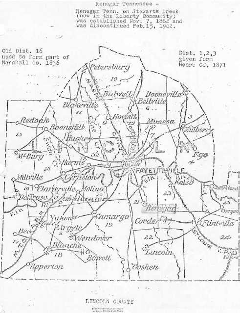
LCT 1863 Map_Railroad Map
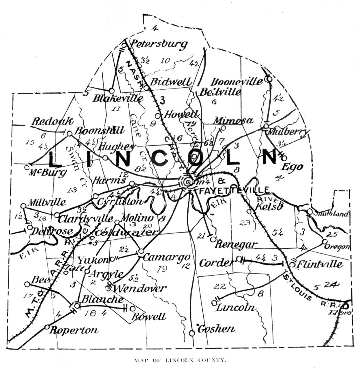
LCT Map-1863_RR_Lin_County
LCT_map
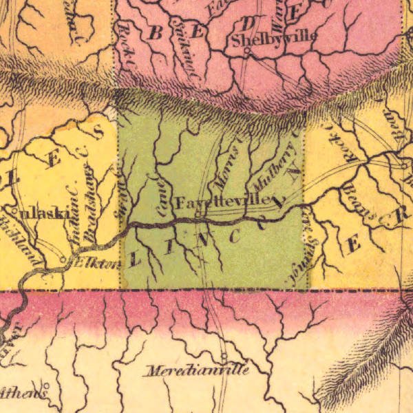
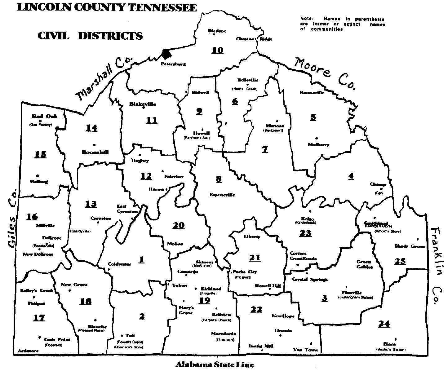
Lincoln
Lincoln County 1822 Statistical Map
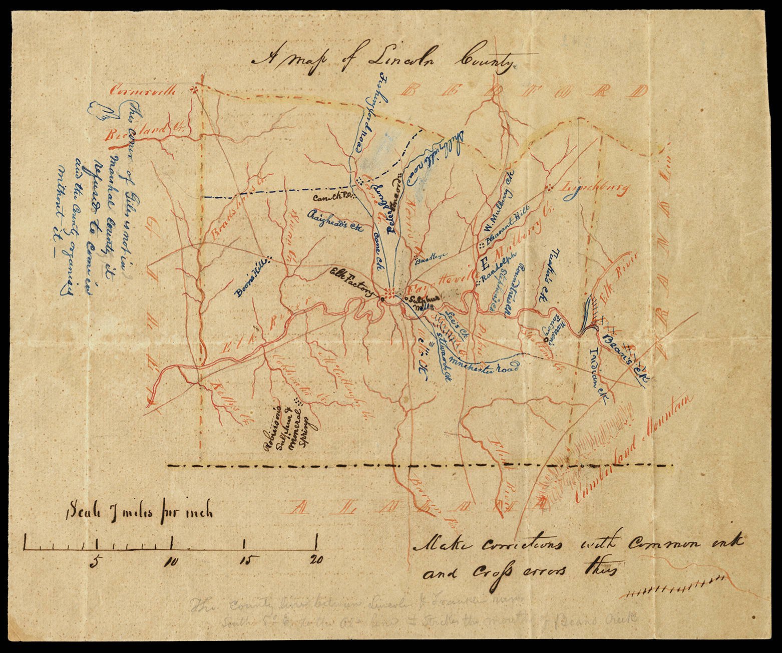
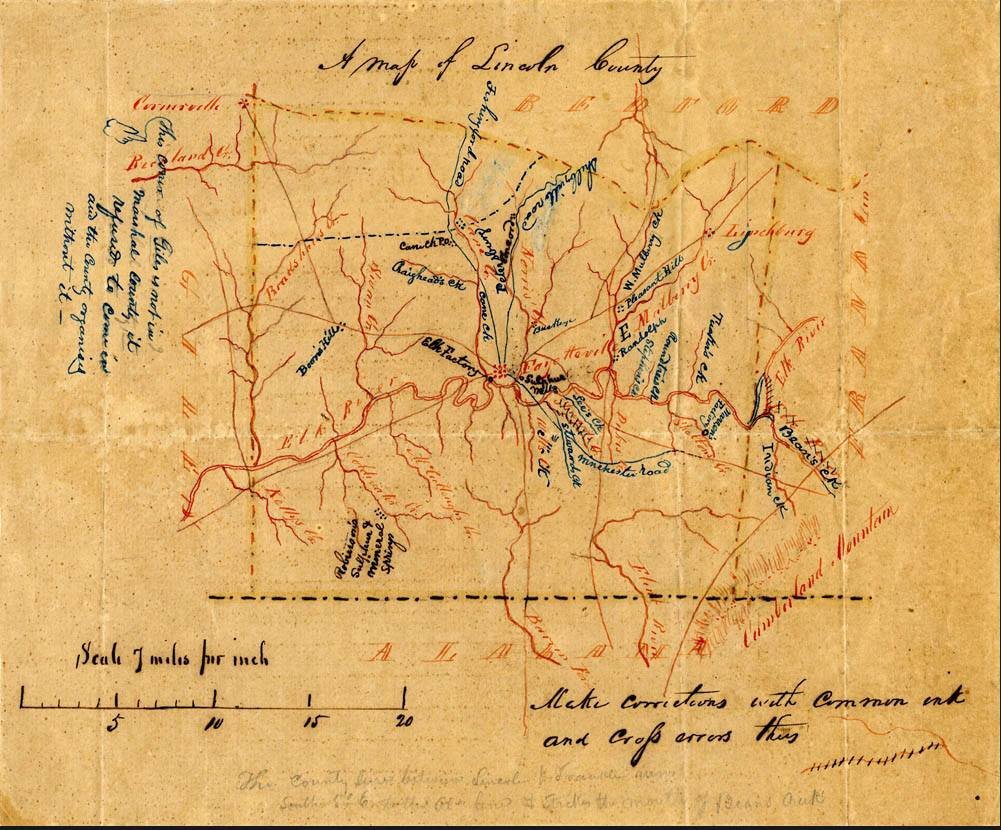
Lincoln County 1842 Hand Drawn Map
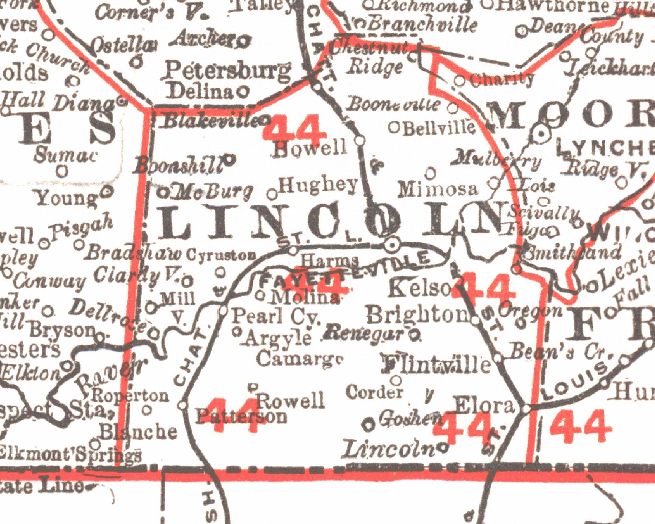
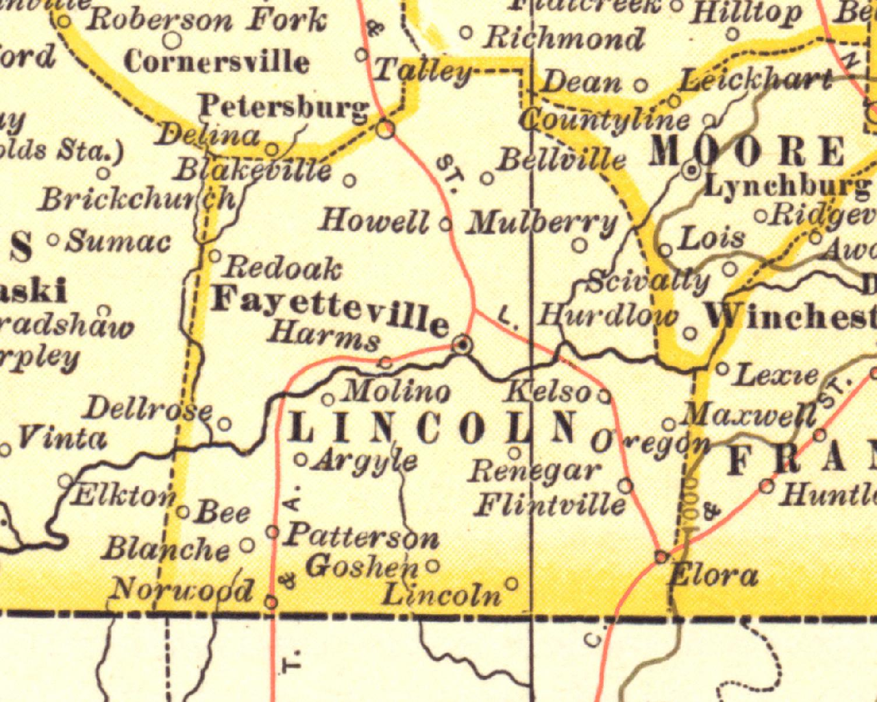
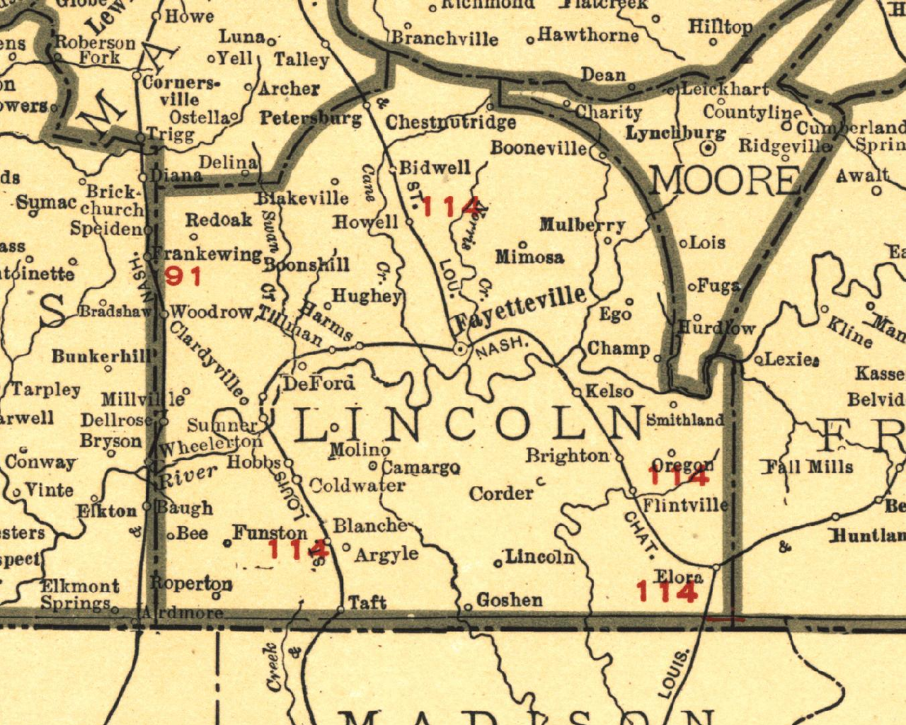
Lincoln County 1901 Rand McNally
Lincoln County 1902 Matthew Nortrup Co
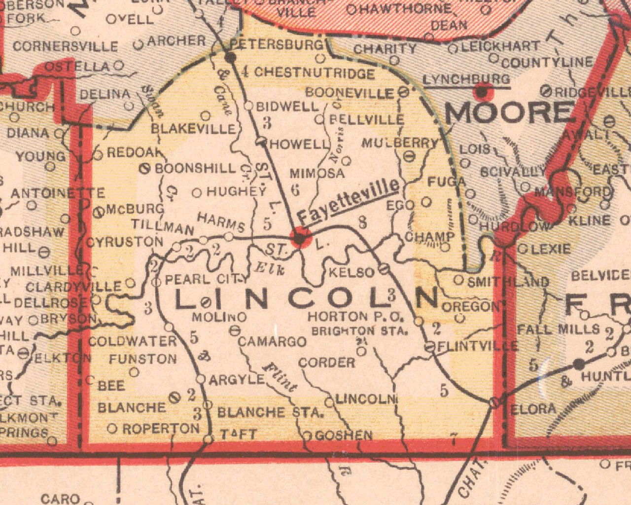
Lincoln County 1906 Rand McNally
Lincoln County 1913 Nashville Tennessean
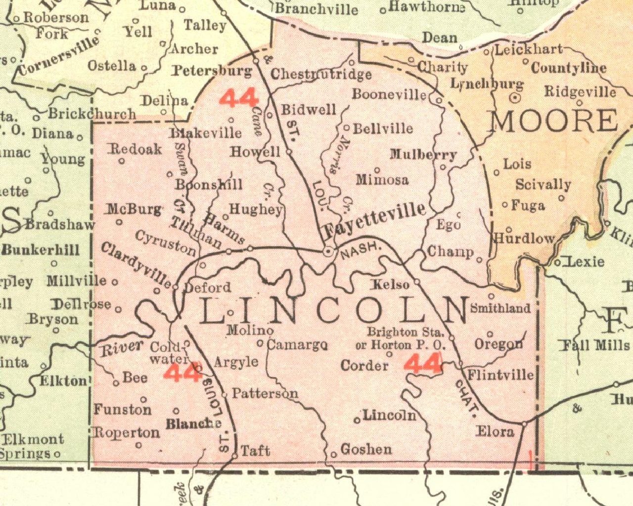
Lincoln County 1921 Rand McNally
Lincoln County 1930
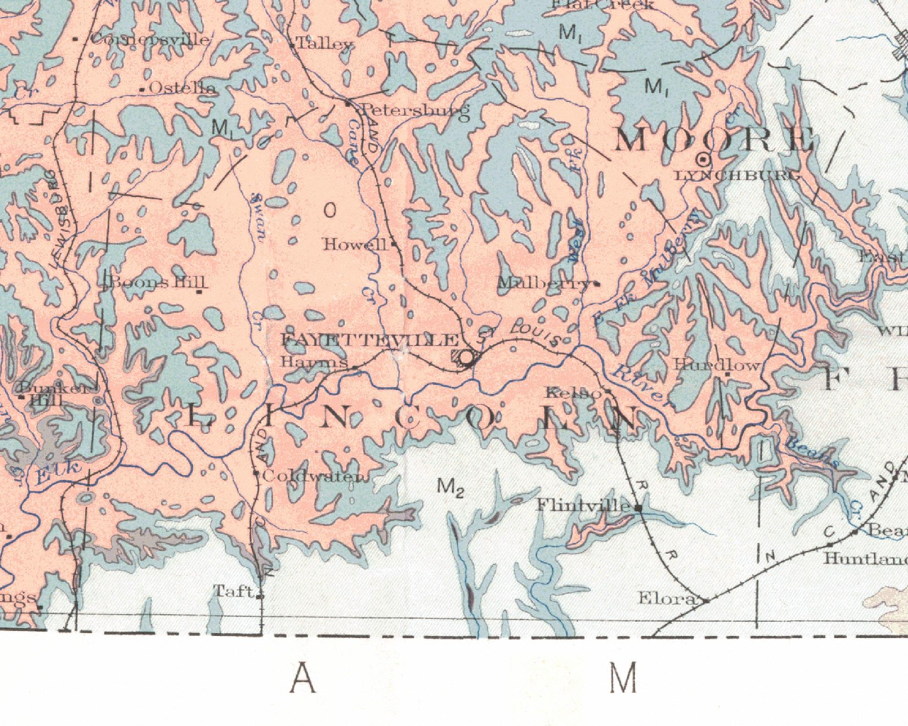
Lincoln County Geologic Map 1915 State of Tenn
Lincoln County Map Source Tony Holman
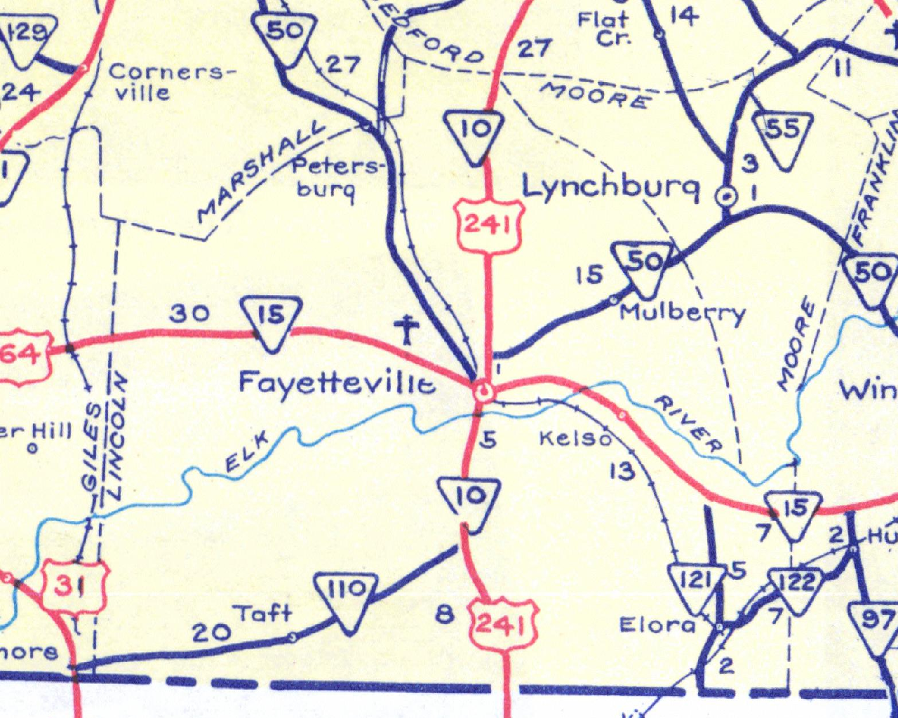
Lincoln County Road Condition Map 1938 State of TN
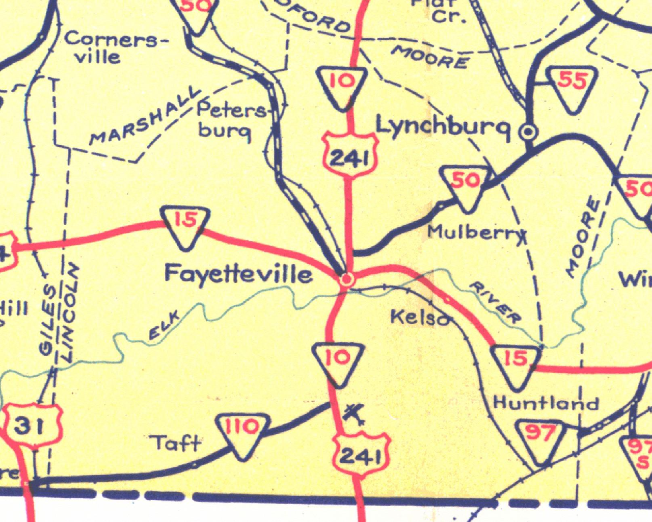
Lincoln County Road Map 1951 State of TN
lincolncounty1870
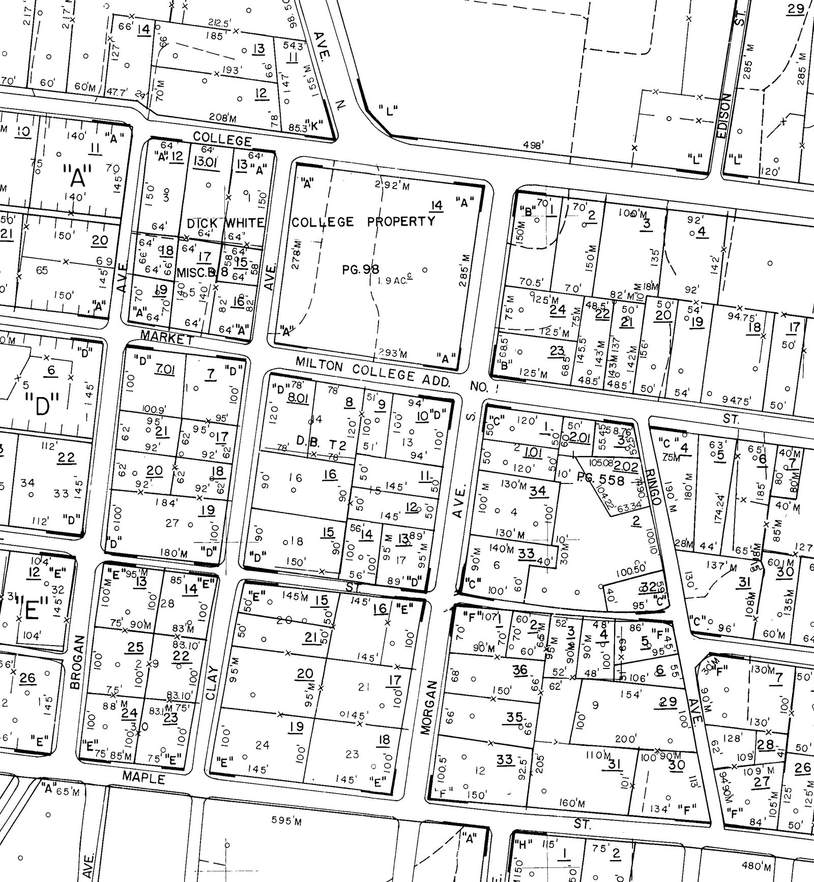
Milton Addition 2010
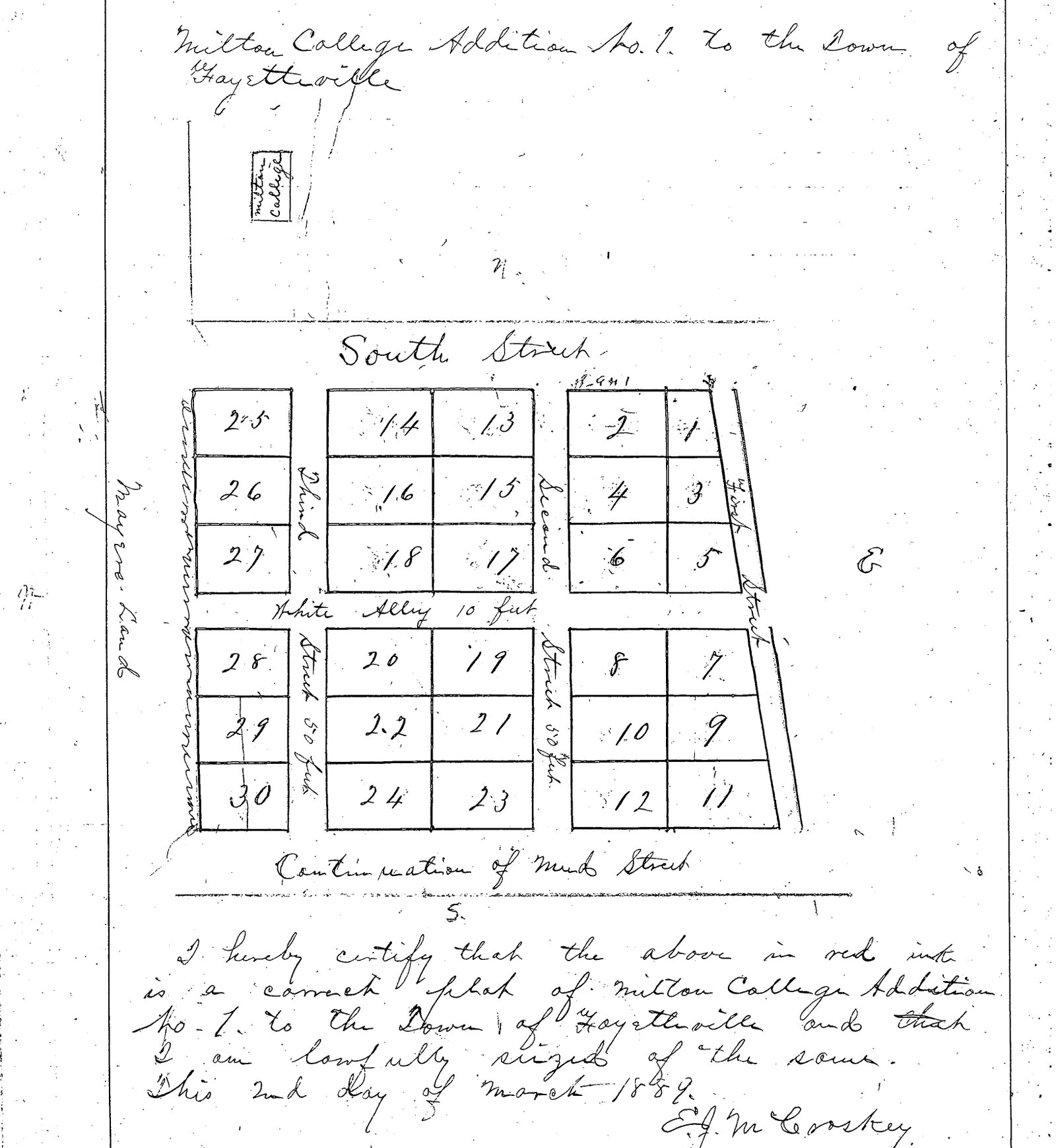
Milton Addition Original Plat 1889
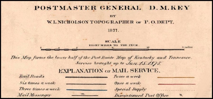
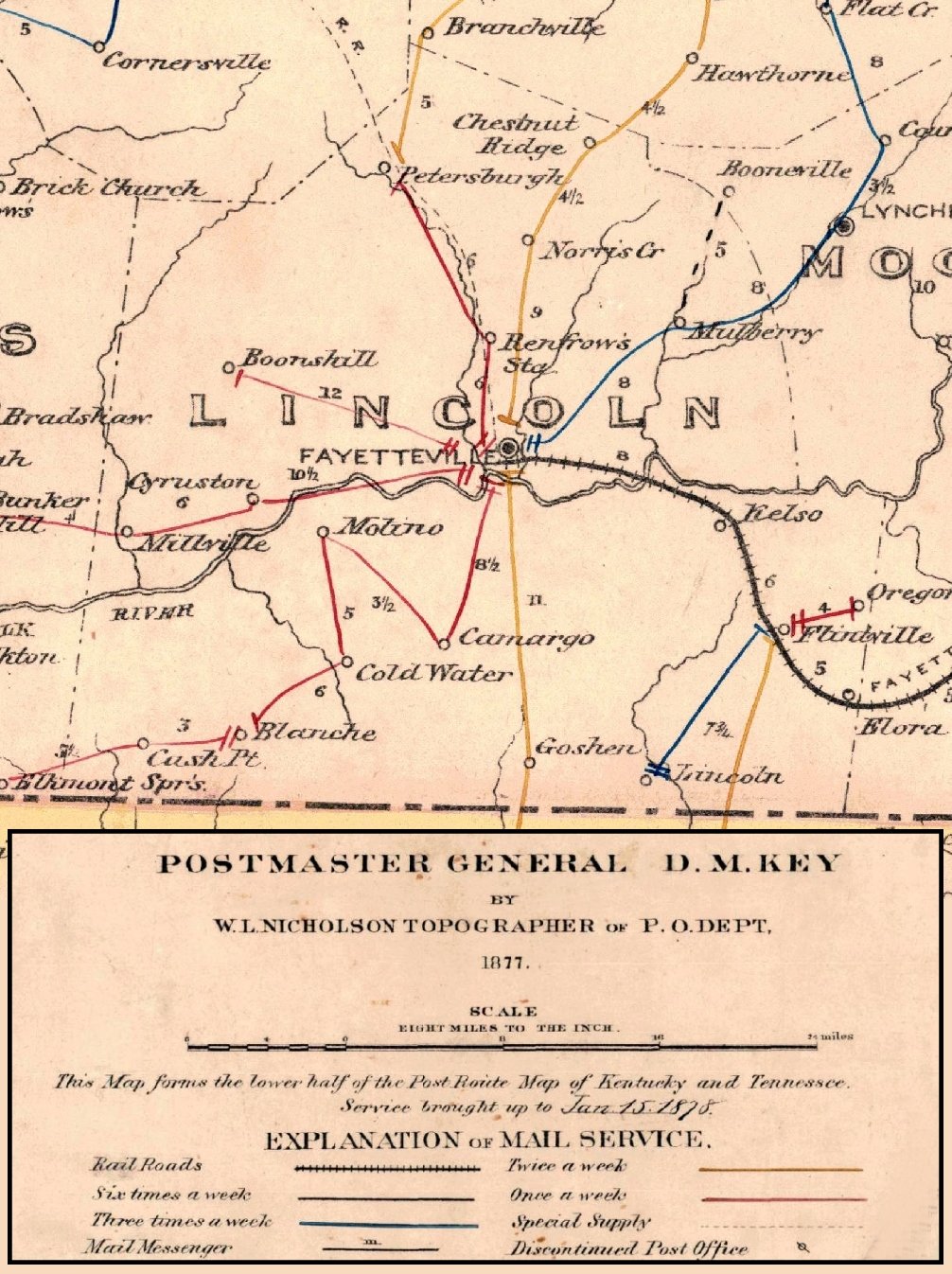
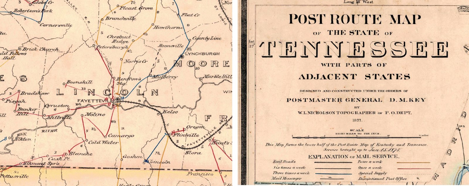
Postal Routes of Lincoln County 1877 legend
Postal Routes of Lincoln County 1877 Vertical
Postal Routes of Lincoln County 1877
Rand McNally Commercial Atlas Distances
Tennessee Indian Land Cessation
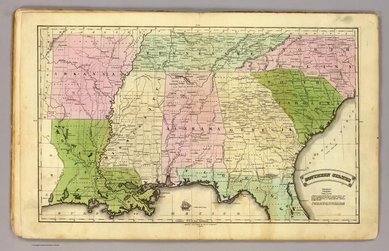
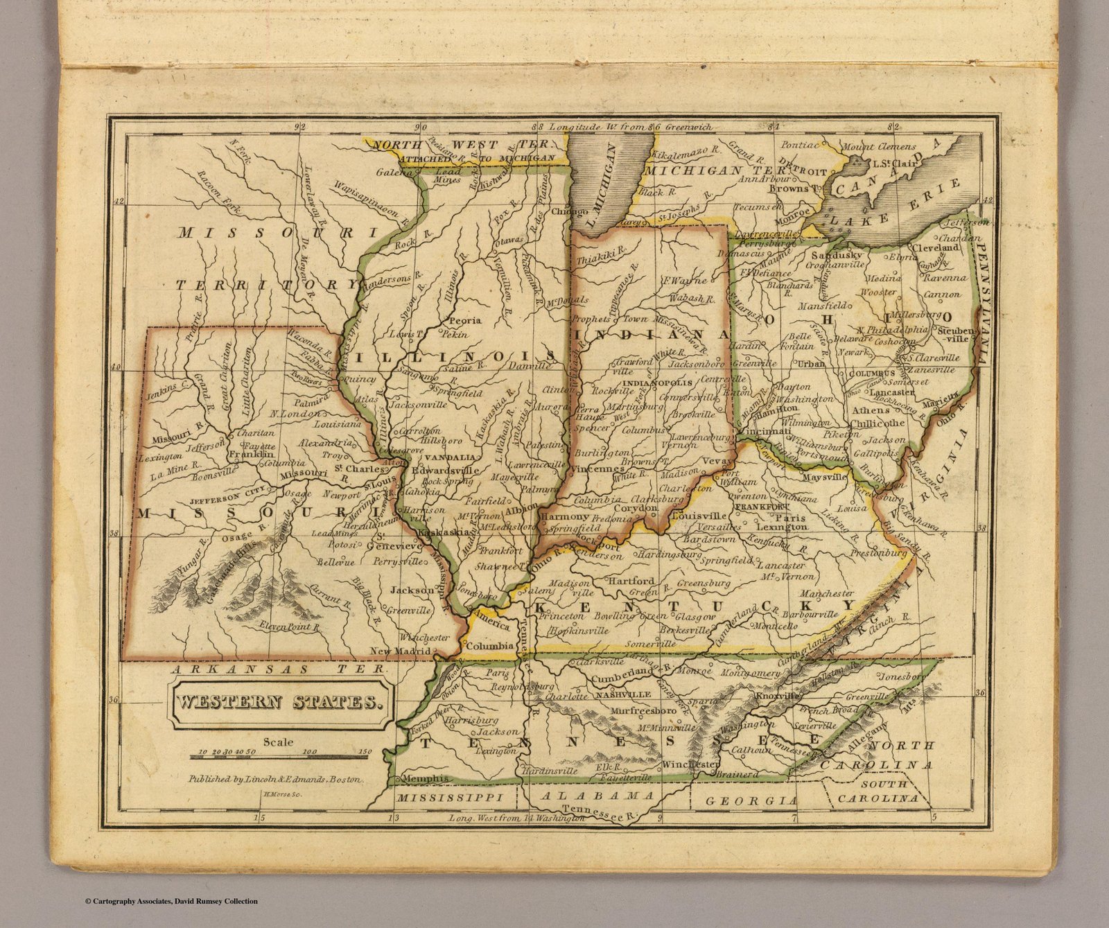
Western States
×
❮
❯
Slideshow
Zoom +
Zoom -
Rotate
Reset
PAUSED
×